This visual record captures the landscape transformation of Fuente del Rey in the Seville province over a nine-year period. The comparative imagery documents the patterns of territorial change that characterized this area during the early 21st century development cycle.
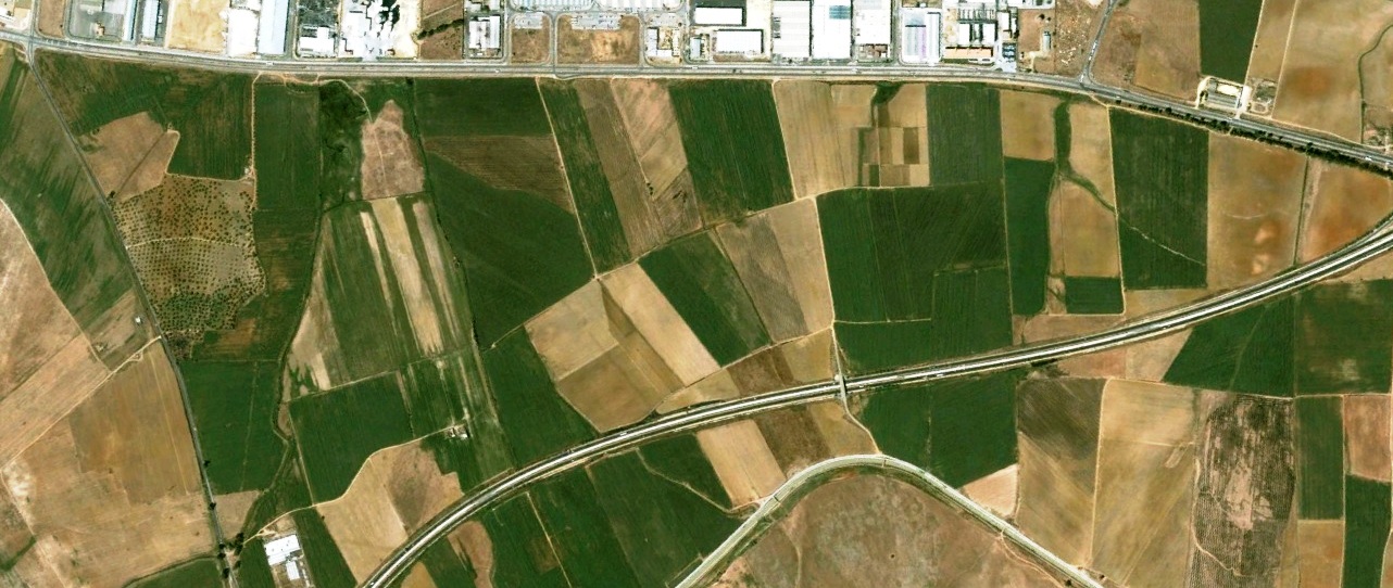
2003: Initial landscape conditions
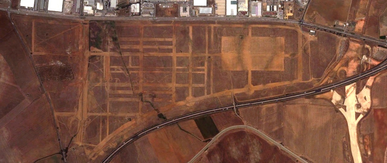
2012: Documented changes in land use
The photographic evidence presents a clear view of how this section of the territory evolved between these two temporal reference points, offering insight into the spatial reorganization that took place during this interval.