Visual documentation of territorial transformation at the Golf Valdecañas development site in Cáceres province. The comparative imagery captures the transition of this landscape over an eleven-year period.
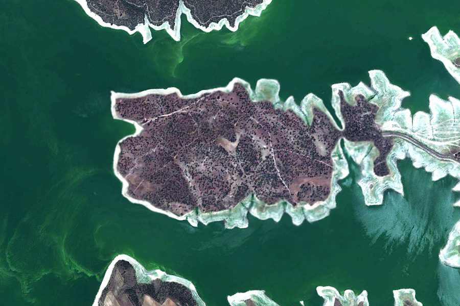
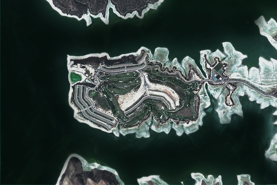
The sequence presents overhead perspectives from 2002 and 2013, documenting changes in land use patterns and built structures within this section of the Extremadura region.