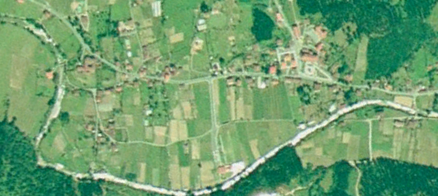
Visual documentation comparing territorial development patterns between 1991 and 2012. The aerial imagery reveals significant landscape transformation in this Basque municipality over two decades.
View detailed comparison
Visual documentation comparing territorial development patterns between 1991 and 2012. The aerial imagery reveals significant landscape transformation in this Basque municipality over two decades.
View detailed comparison