This location presents a representative case study of territorial modification patterns observed across the Mediterranean region during the early 21st century real estate expansion phase.
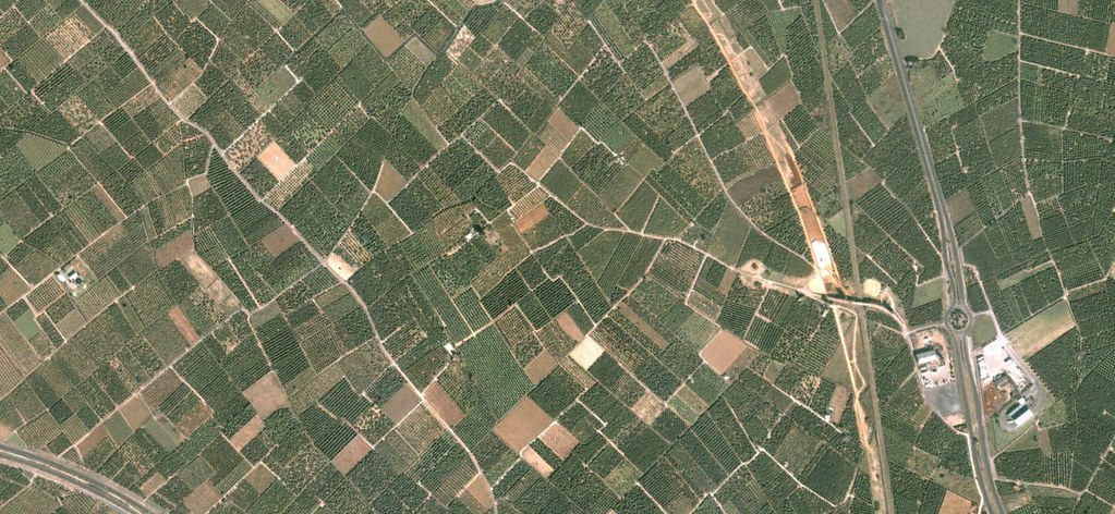
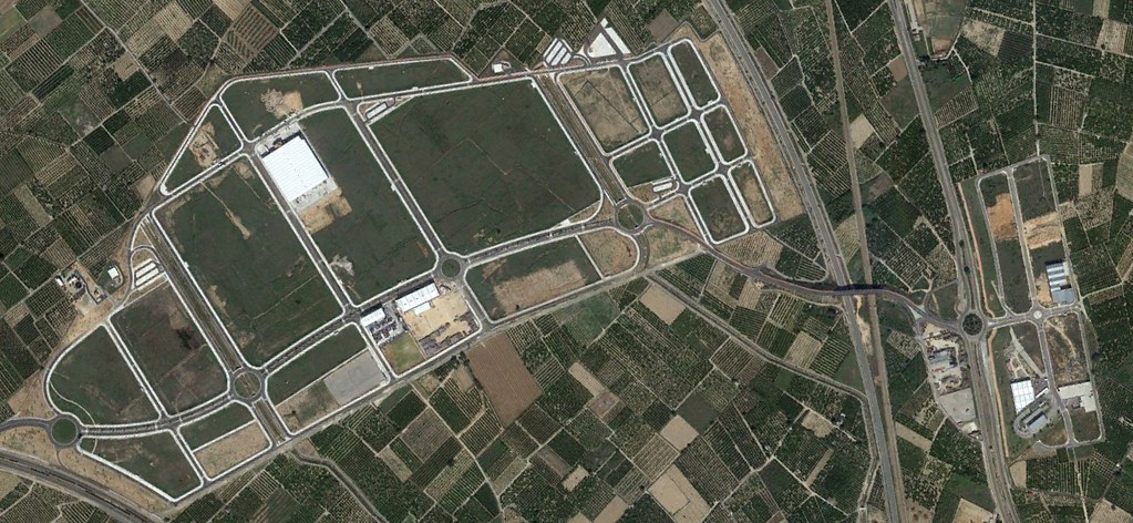
The comparative satellite imagery sequence reveals the spatial transformation that occurred within an eight-year timeframe. What was formerly agricultural terrain underwent conversion to accommodate transportation infrastructure including traffic circulation features characteristic of suburban development models.
This documentation serves as part of a broader inventory examining how the Spanish landscape was reshaped during a period of intensive construction activity that preceded the 2008 financial crisis.