Hospital del Sureste, Arganda del Rey, Madrid
This visual documentation captures the territorial transformation surrounding the Hospital del Sureste facility in Arganda del Rey, located in the southeastern metropolitan area of Madrid. The comparison presents the landscape evolution over a fourteen-year observation period.
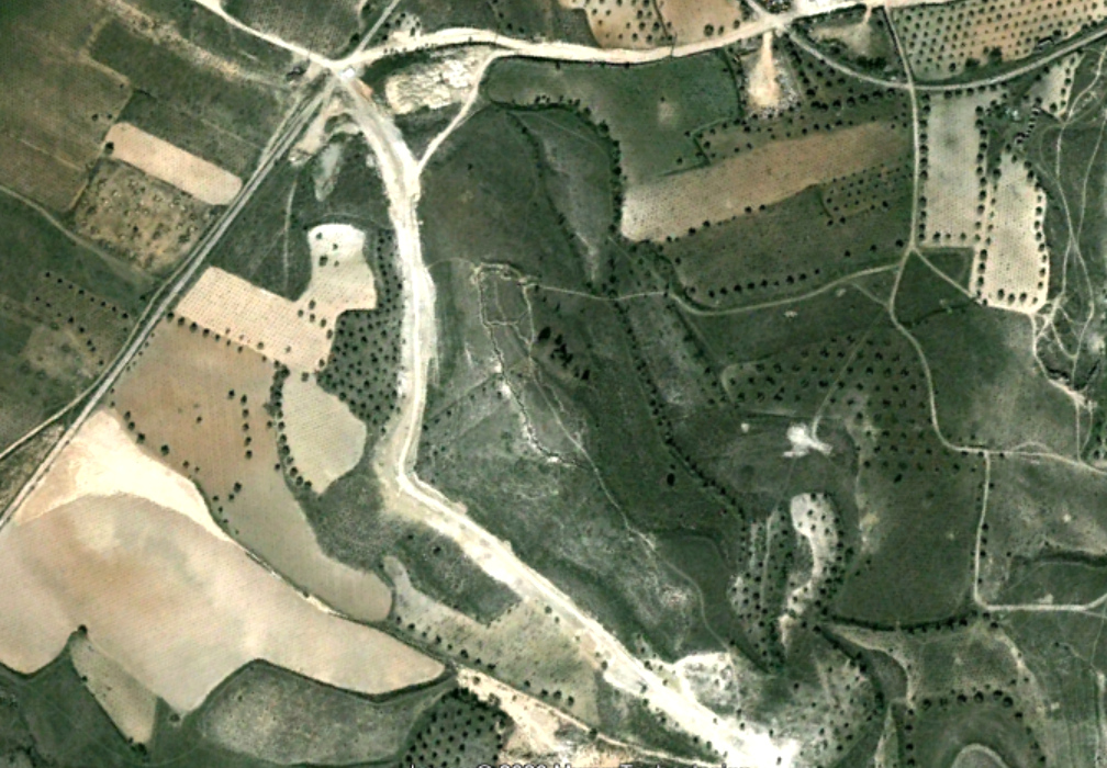
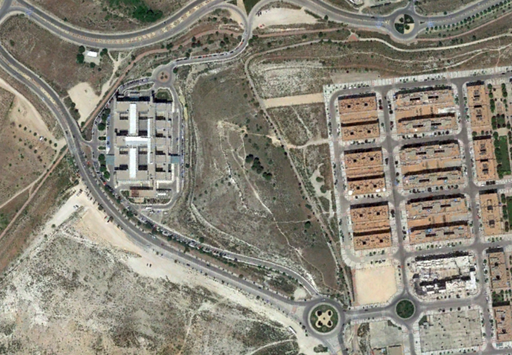
The imagery reveals the emergence of healthcare infrastructure and associated roadway modifications characteristic of the period's public facility construction patterns. The aerial photographs document the conversion of previously undeveloped terrain into institutional use, including the appearance of new circulation patterns marked by characteristic traffic distribution elements.
This location exemplifies the public infrastructure expansion that accompanied residential growth in Madrid's southeastern corridor during the first two decades of the twenty-first century.