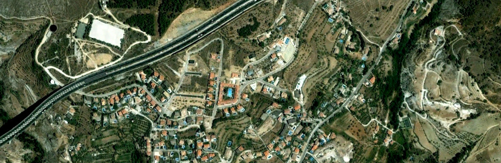
This municipality in the province of Granada represents the second location bearing the Huétor designation documented in this visual archive. The comparative imagery reveals the extent of infrastructural development across a twelve-year observation period.
2005
2017
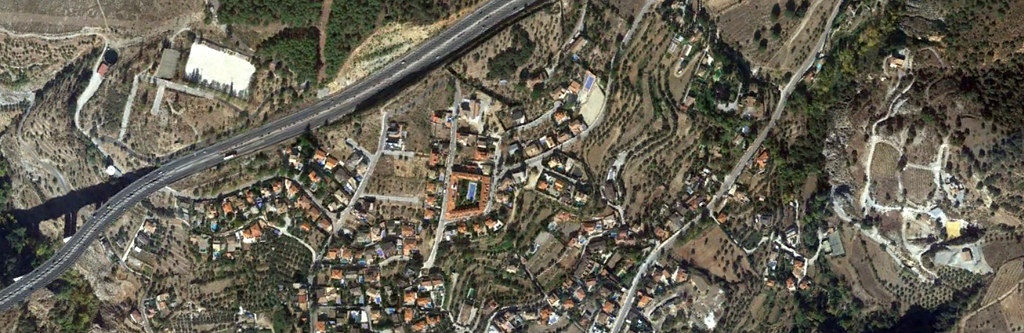
The temporal analysis documents the introduction of transportation infrastructure, including circular junction configurations and paved arterial routes. These modifications exemplify the pattern of landscape transformation characteristic of the documented period.