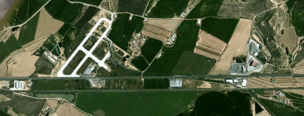
Comparative visual documentation reveals patterns of territorial transformation in Binéfar between 2005 and 2018, illustrating shifts in land use and infrastructure development across this area of Huesca province.
Comparative visual documentation reveals patterns of territorial transformation in Binéfar between 2005 and 2018, illustrating shifts in land use and infrastructure development across this area of Huesca province.
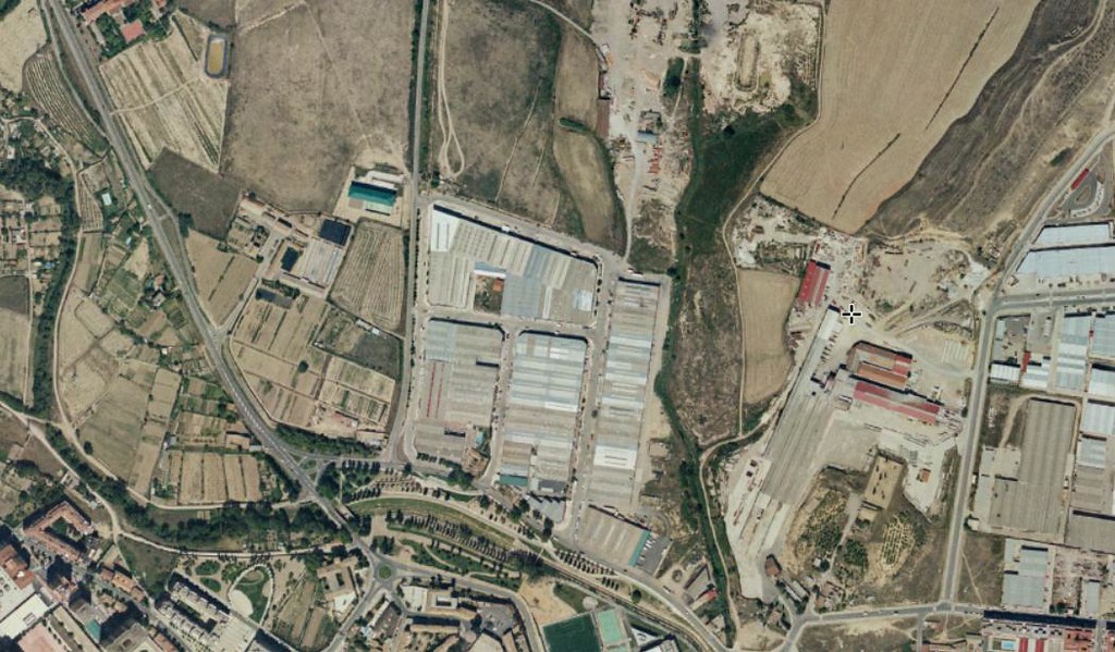
Aerial documentation from 2006 and 2016 displays the evolution of the northern sector of Huesca city, with notable modifications to transportation infrastructure and surrounding landscape patterns.
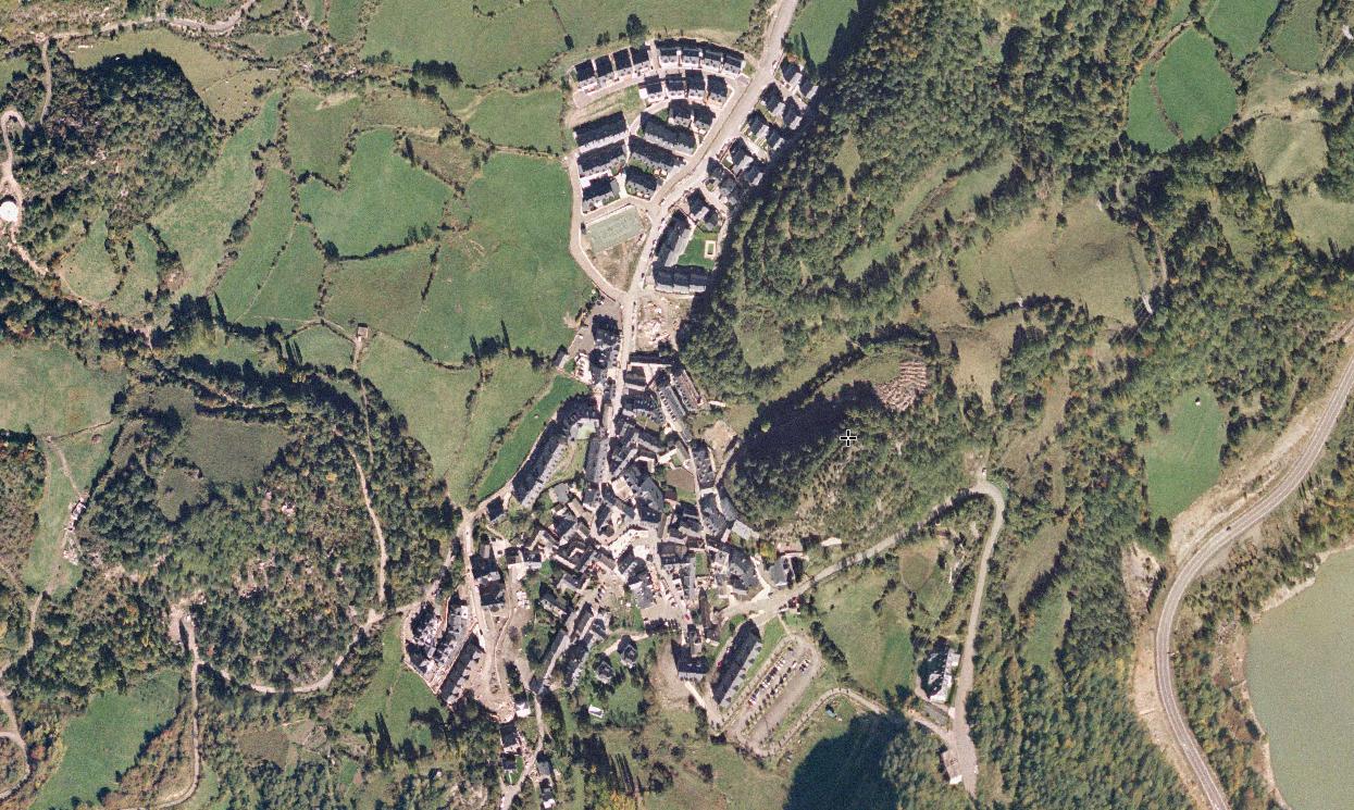
Visual records capture the transformation of this Pyrenean municipality between 2006 and 2014, documenting changes in the built environment and territorial organization of Tramacastilla de Tena.
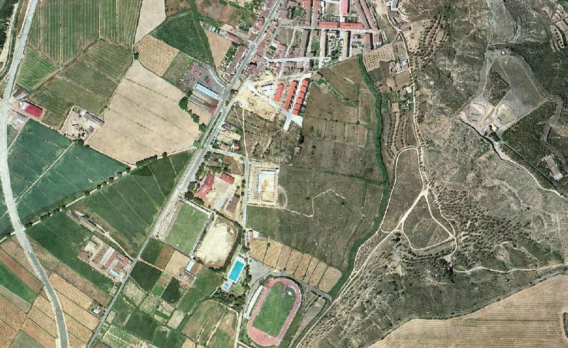
A fifteen-year comparison period from 2000 to 2015 reveals substantial modifications in the urban fabric and periphery of Monzón, reflecting broader development trends within the province.
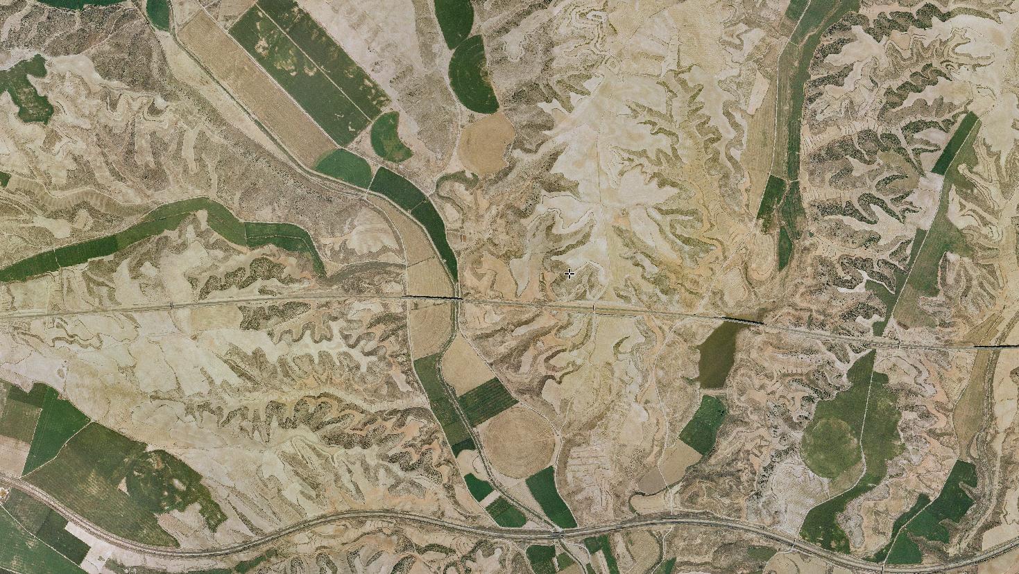
Documented changes to the Monegros landscape between 2006 and 2014 at the proposed Gran Scala casino development site, illustrating the impact of large-scale planning initiatives on previously undeveloped terrain.
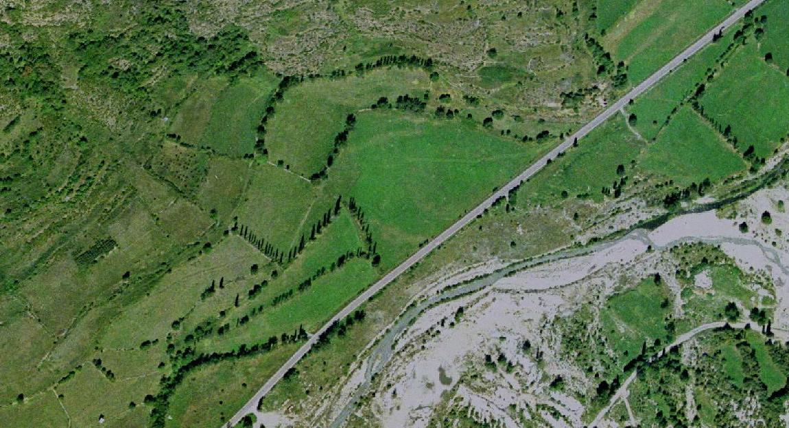
Comparative imagery from 2000 and 2012 records expansion in the southern zone of Benasque, a mountain municipality experiencing development pressure from tourism and seasonal residential demand.
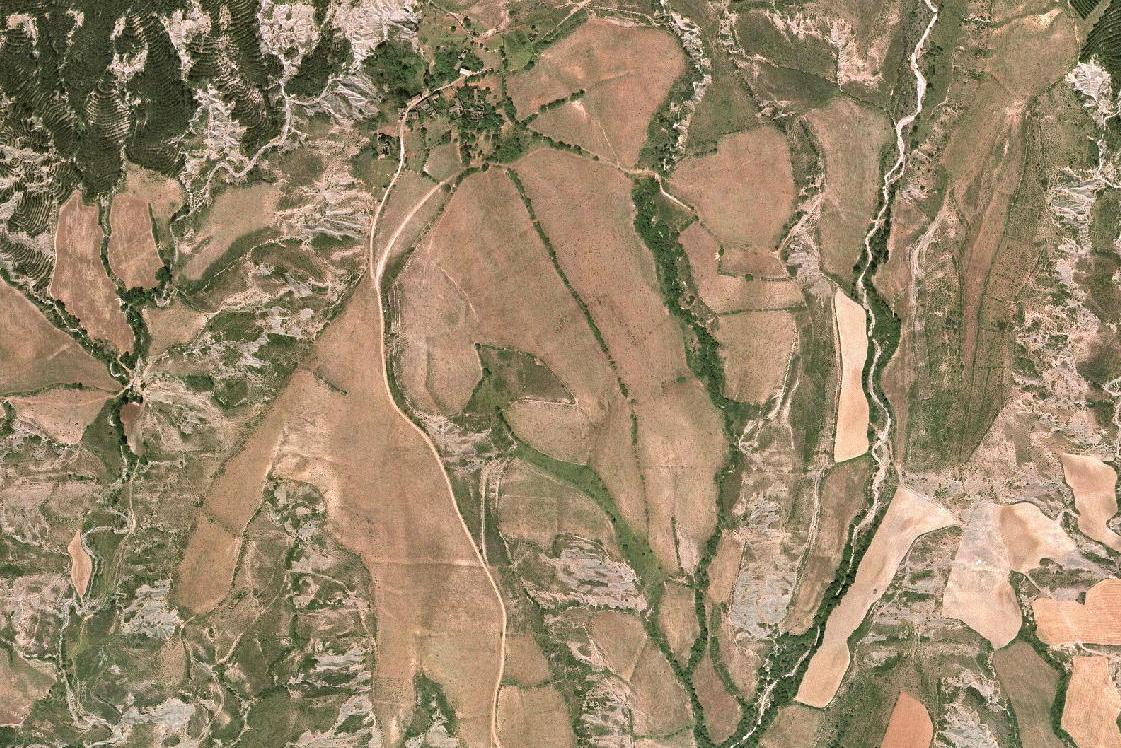
A twelve-year documentation period reveals the evolution of Badaguás, with aerial views from 2000 and 2012 showing modifications to the settlement pattern and adjacent infrastructure networks.
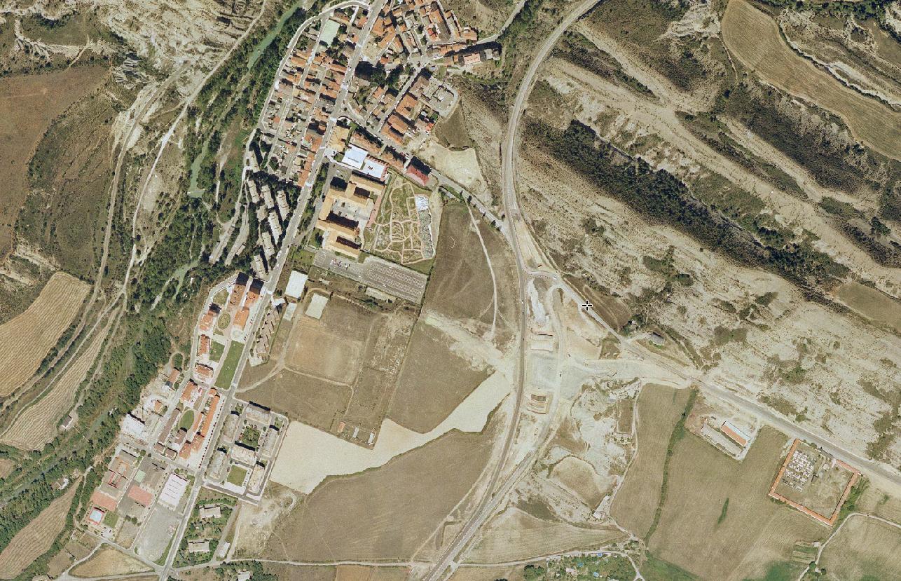
Visual records document the transformation of Sabiñánigo between 2006 and 2015, capturing changes in urban structure and surrounding territory in this industrial and service center of the Alto Gállego region.
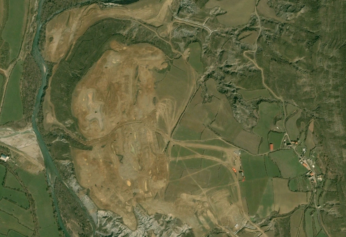
Comparison of 2004 and 2014 imagery reveals changes to the landscape around Latas, documenting the evolution of this small municipality within the broader territorial context of Huesca province.
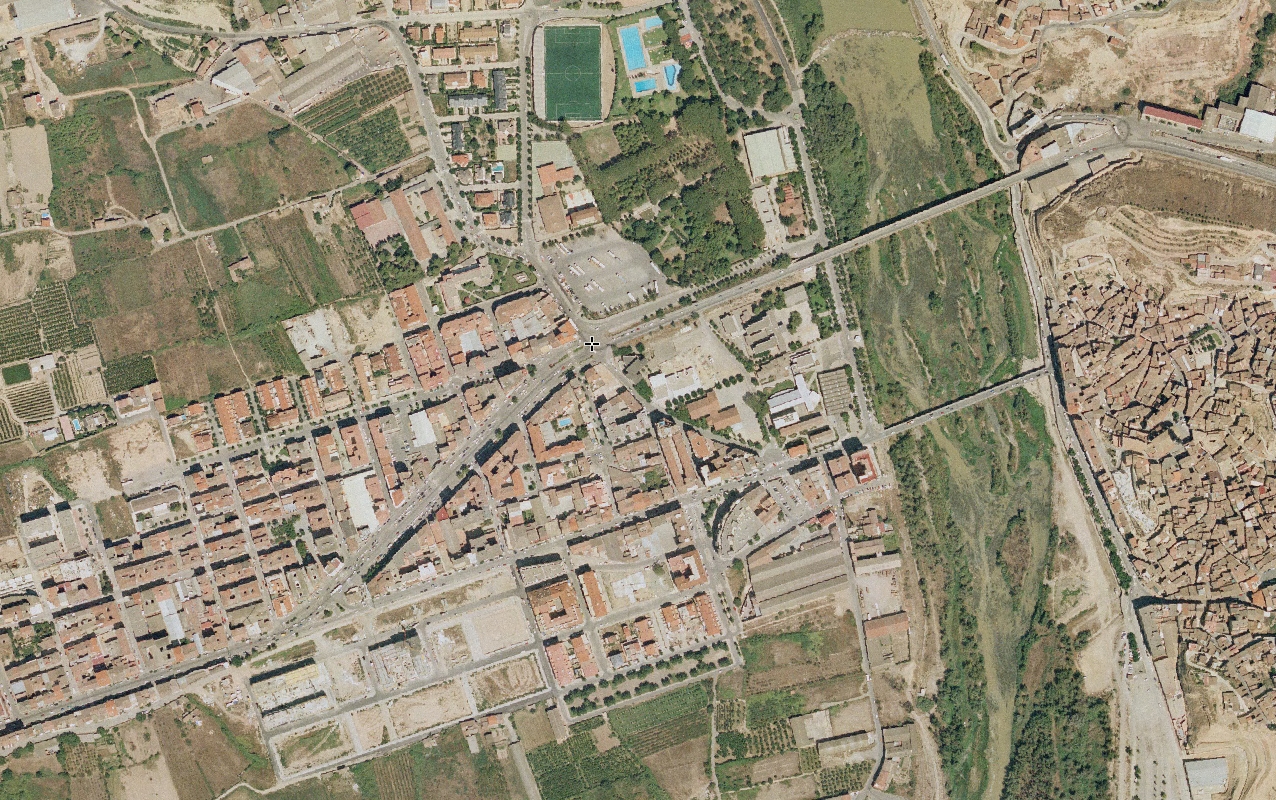
The western sector of Fraga underwent significant transformation between 2006 and 2013, as documented through aerial photography revealing shifts in land use and infrastructure patterns.
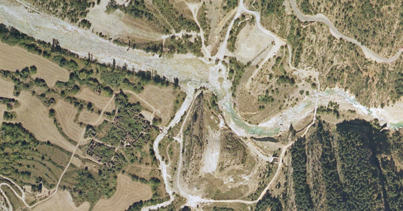
Documentation of Jánovas captures changes between 2006 and 2013 in this historically significant location, previously designated for reservoir construction that displaced residents and altered the territorial landscape.
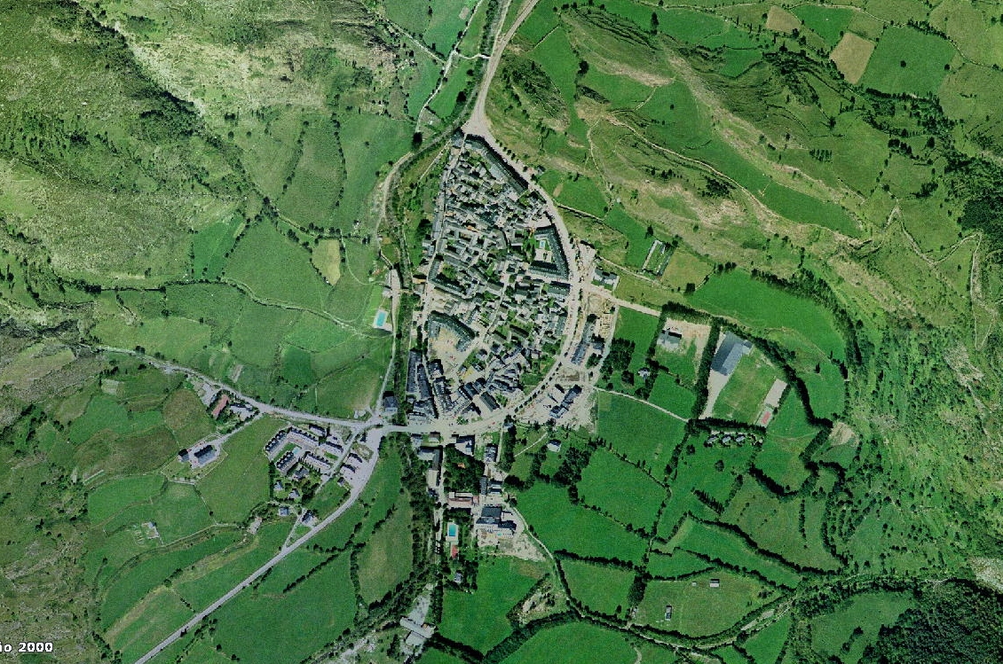
Aerial imagery from 2000 and 2013 documents the expansion of Benasque, a Pyrenean municipality that experienced significant development pressure related to winter sports tourism and mountain recreation activities.
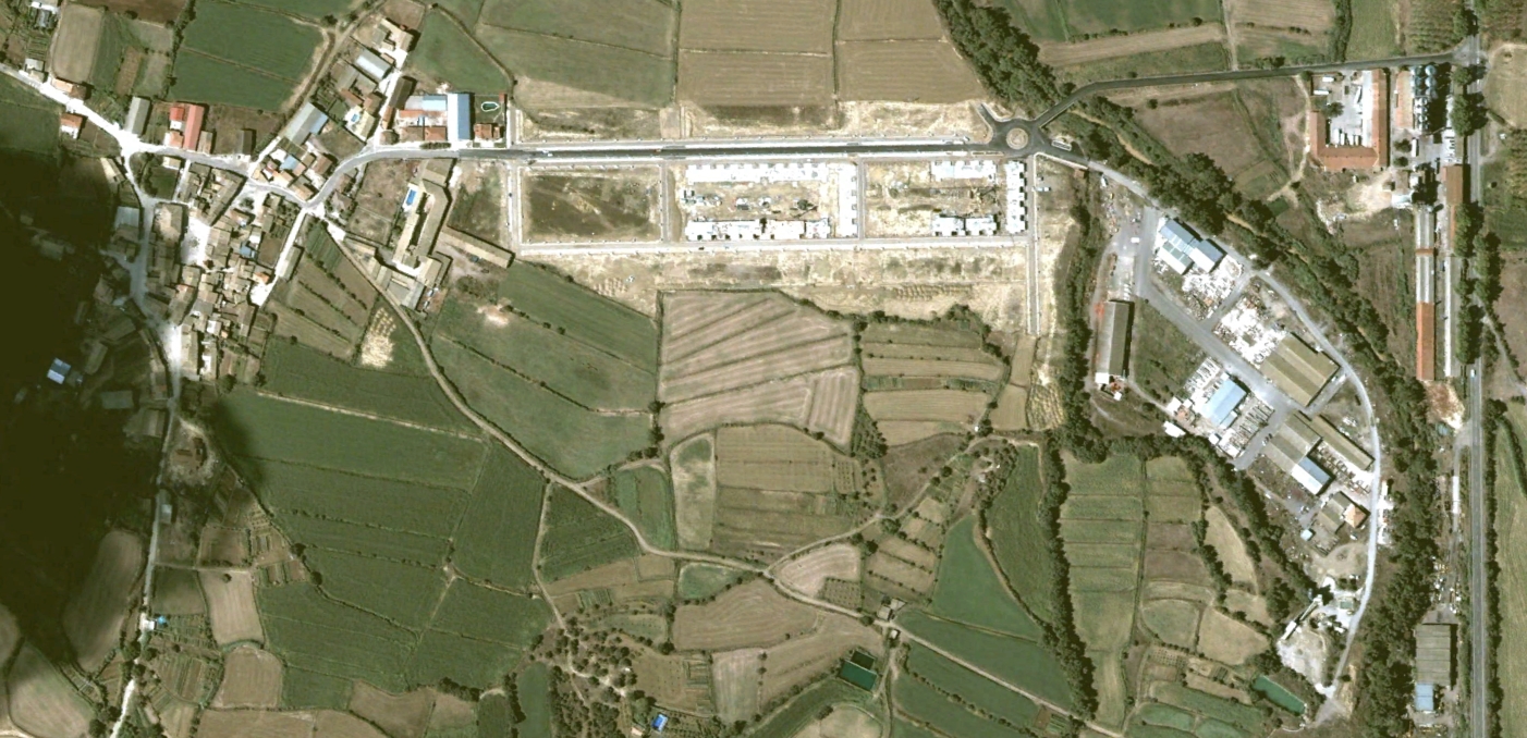
A decade of transformation in Tierz is captured through comparative documentation from 2002 and 2012, revealing modifications to the settlement structure and adjacent agricultural landscape.
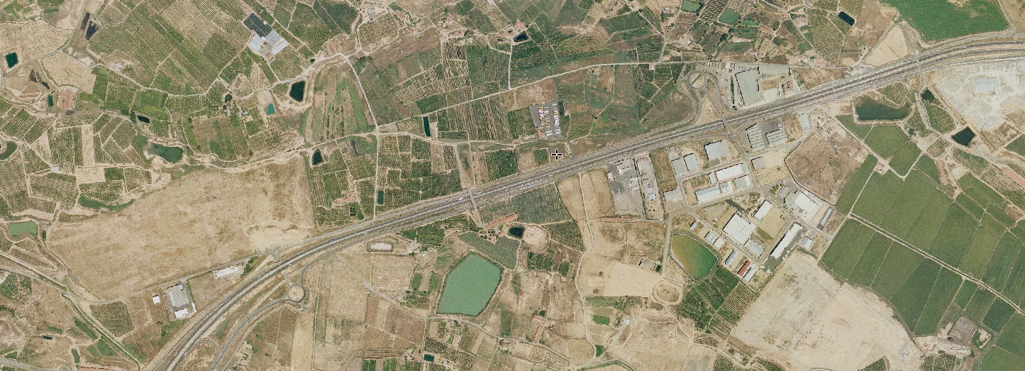
Visual documentation spanning 2006 to 2013 illustrates changes in Fraga, an important commercial and agricultural center in eastern Huesca with significant cross-border connections to Catalonia.
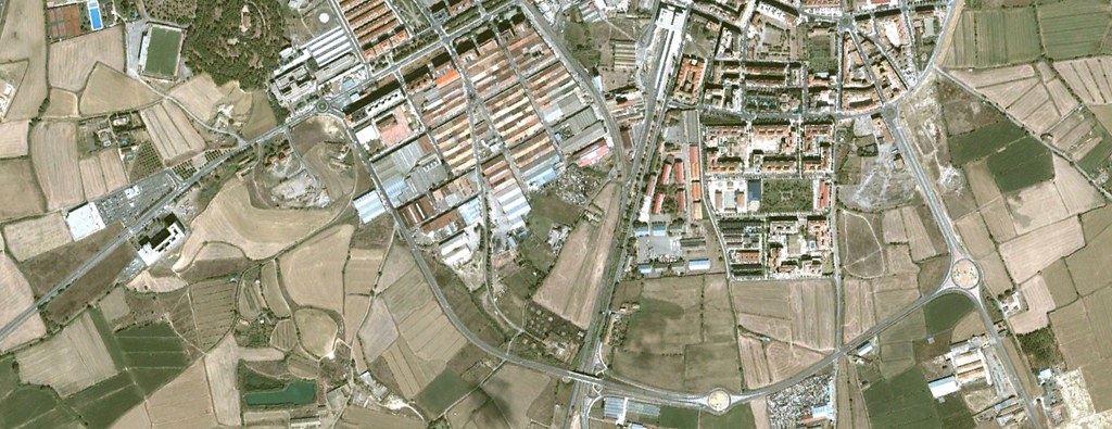
The southern periphery of Huesca city underwent notable transformation between 2002 and 2012, with aerial imagery documenting expansion patterns and infrastructure development during this period.
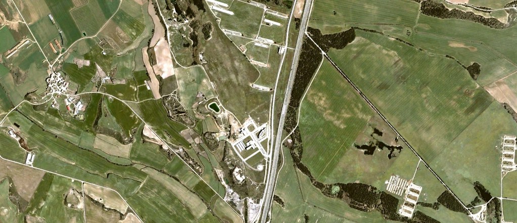
Comparative views from 2003 and 2012 capture changes in Cuarte, documenting the evolution of this small municipality near Huesca city and its integration into broader regional development patterns.
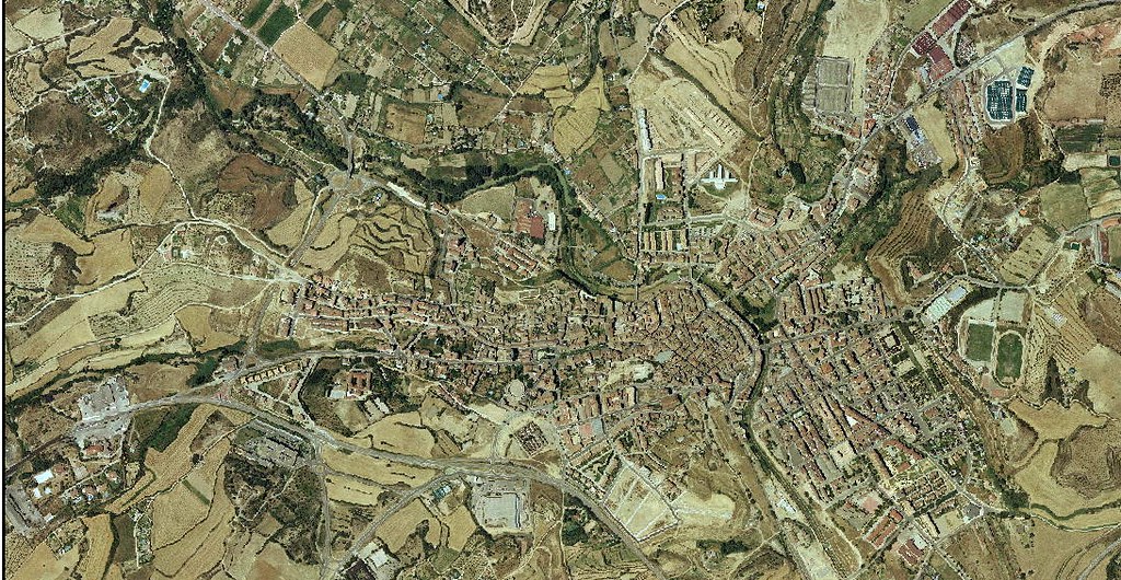
A nine-year period from 2003 to 2012 is documented through aerial photography of Barbastro, revealing transformations in this historic city and important center of the Somontano region.
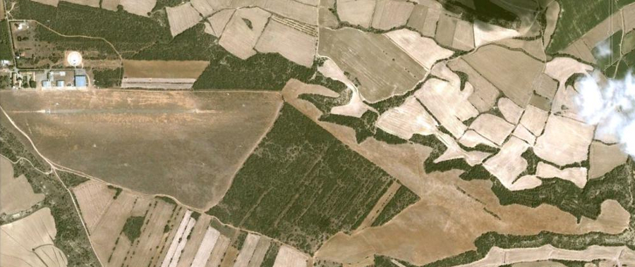
Visual records document the construction of Huesca-Pyrenees Airport between 2002 and 2006, illustrating the transformation of agricultural land into aviation infrastructure intended to serve the Pyrenean region.