This visual record documents the transformation of La Huelga in Córdoba over a nine-year period. The comparison reveals significant changes in land use patterns and infrastructure development in this area of southern Spain.
2004
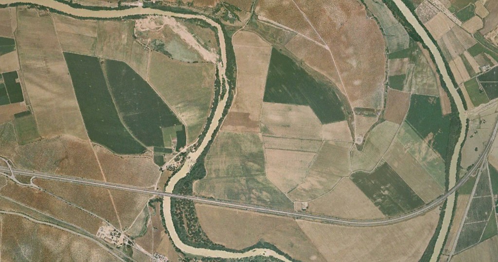
2013
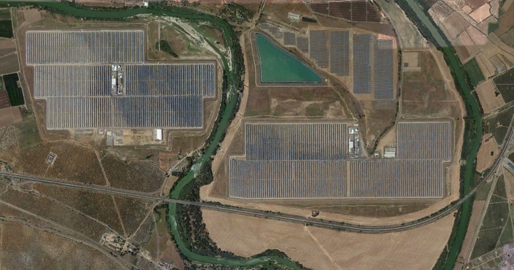
The aerial imagery captures the conversion of open landscape into urban infrastructure, including the construction of road networks and circular junctions characteristic of peripheral development zones.