This entry documents the transformation observed in Laguna de Duero, a municipality in the province of Valladolid, through comparative aerial photography analysis. The visual evidence captures the evolution of land use patterns between two distinct time periods.
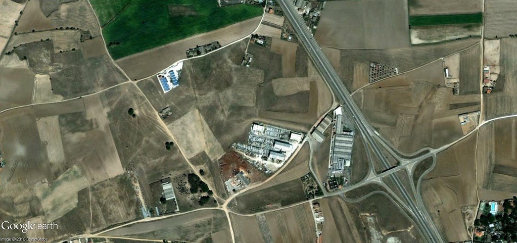
Comparison Analysis: The imagery presents a visual record of territorial modification spanning a five-year interval (2006-2011). An interactive slider mechanism in the original documentation allows observers to examine the progression of development patterns across the landscape.
The photographic documentation reveals modifications to the built environment and alterations in land cover distribution. These visual records serve as empirical evidence of the spatial dynamics affecting peripheral municipalities during the documented timeframe.