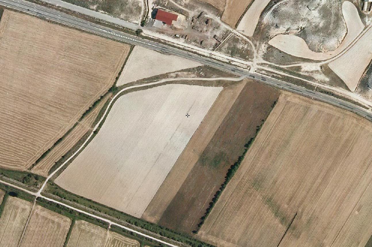
Visual documentation captures the landscape evolution of this Soria municipality between 2008 and 2014, revealing patterns of territorial modification characteristic of the period.
2008
2014
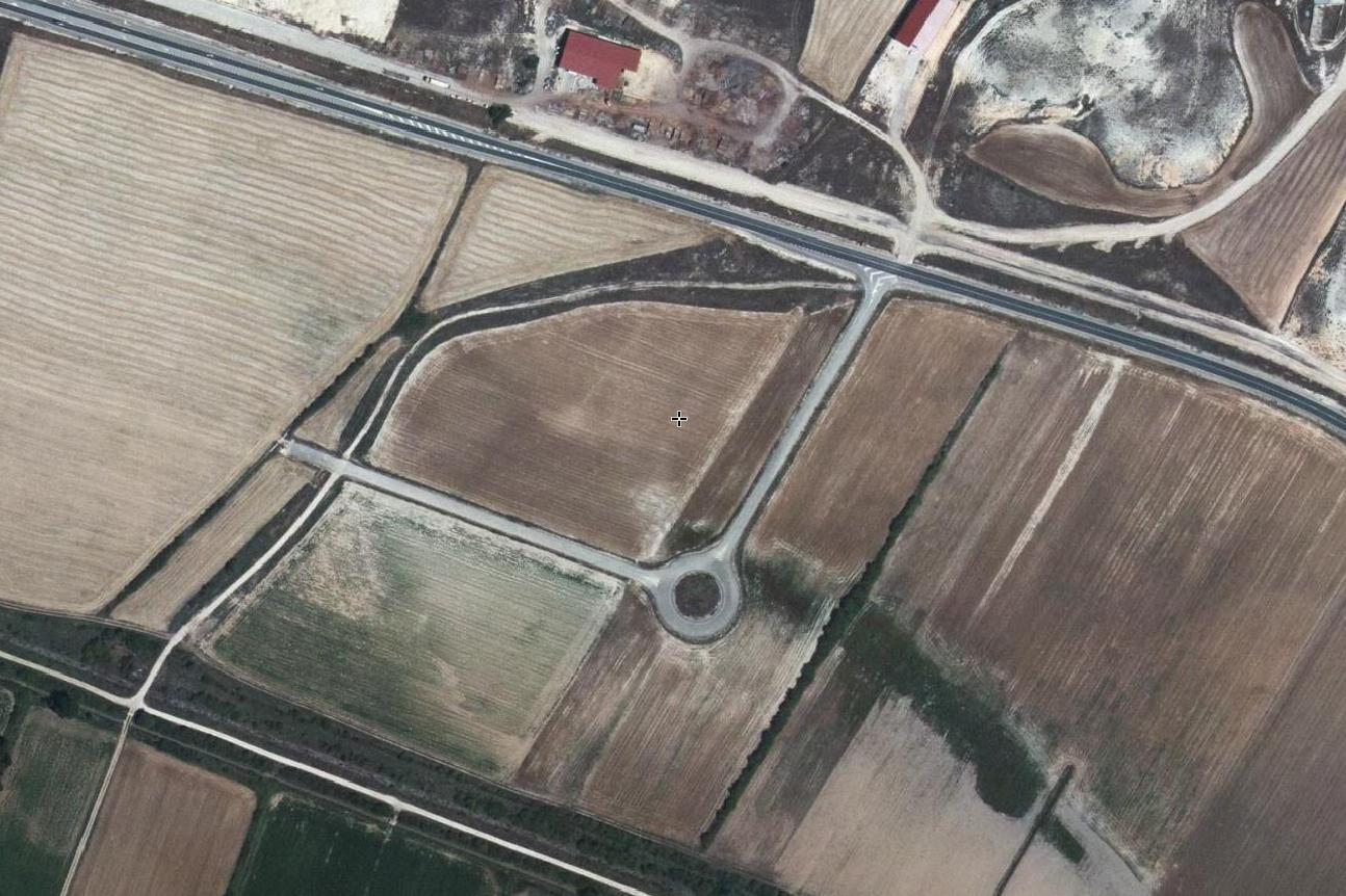
The sequential imagery documents the physical transformation of this territory during a six-year interval, providing visual evidence of land use pattern changes in the Castilian landscape.