This municipality in La Rioja province demonstrates significant territorial restructuring patterns observed across the Spanish landscape during the late 20th and early 21st centuries. The aerial documentation captures the spatial reorganization of formerly agricultural land into residential and infrastructure zones.
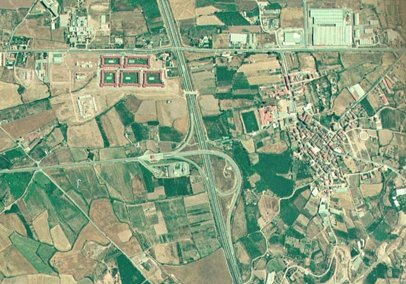
1991 — Initial state
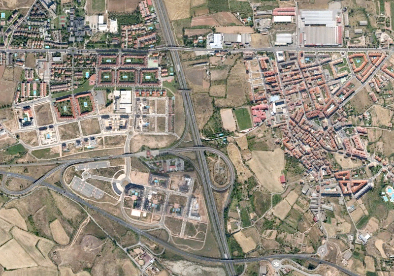
2012 — Transformed state
The visual evidence documents the conversion of open terrain into organized urban fabric, representing a characteristic pattern of Spanish territorial development during this period.