This visual documentation captures the landscape transformation of Las Playitas in Fuerteventura, located in the province of Las Palmas. The comparison reveals significant changes in coastal development and infrastructure expansion between 2000 and 2012.
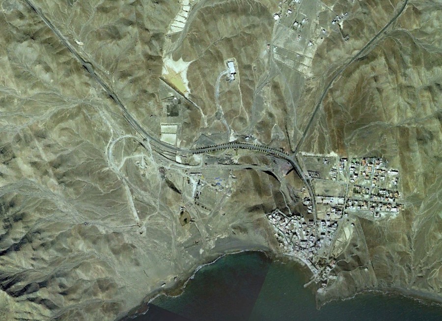
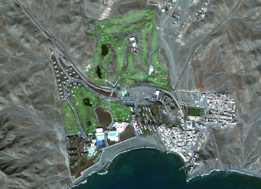
The aerial imagery documents the evolution of this Canary Islands coastal zone, illustrating the pattern of territorial modification characteristic of Spain's urban expansion during this period.