2003
2012
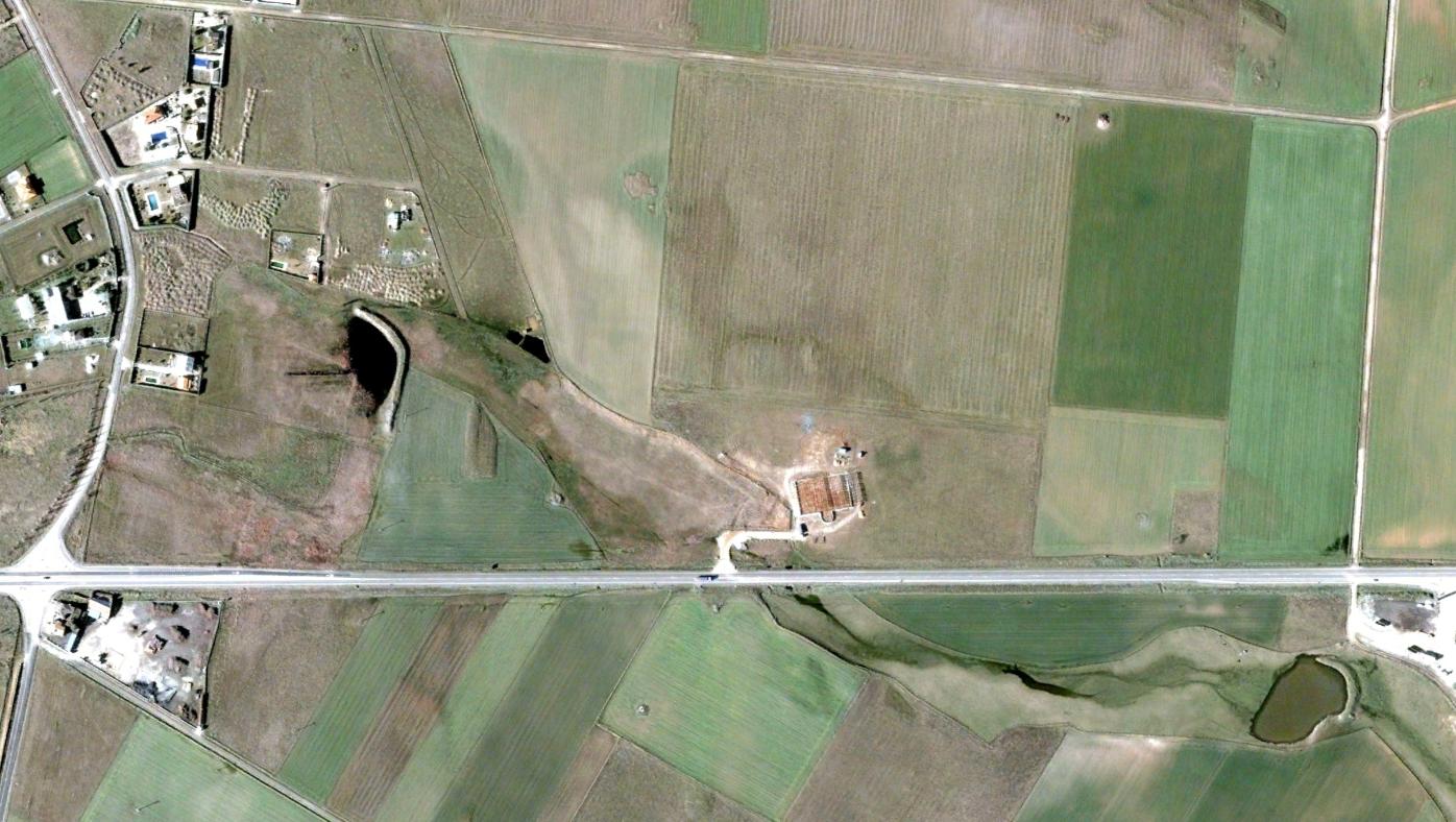
Aerial documentation captures the transformation of this territory over a nine-year period, revealing the extent of landscape modification through infrastructure and construction.
Aerial documentation captures the transformation of this territory over a nine-year period, revealing the extent of landscape modification through infrastructure and construction.