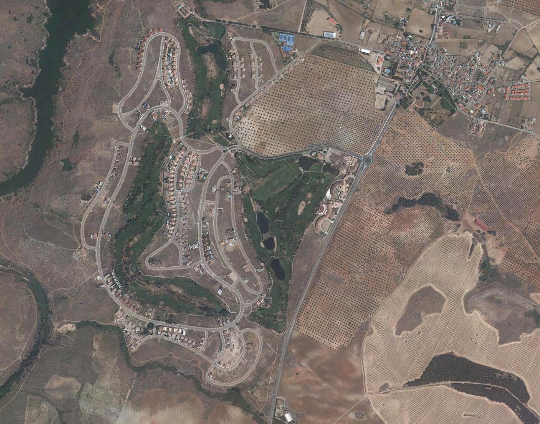
Visual documentation of territorial changes in Layos, located within the Toledo province. This comparative analysis examines landscape modifications spanning from 2002 to 2015, revealing patterns of development characteristic of the Spanish urban expansion period.
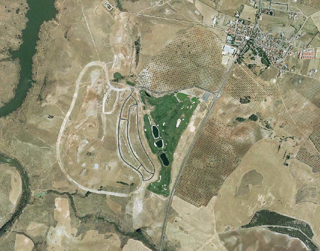
The transformation documented here reflects broader territorial dynamics observed across central Spain during this timeframe. Infrastructure development, roadway networks, and land use modifications are visible in the comparative imagery.