April 16, 2015
Llivia, Girona
2002
2013
Comparative aerial imagery reveals the evolution of land use patterns in this Girona municipality over an eleven-year period. The photographs document the transformation of rural and undeveloped terrain into constructed environments.
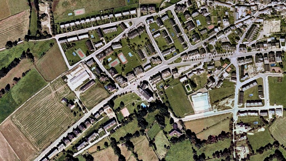
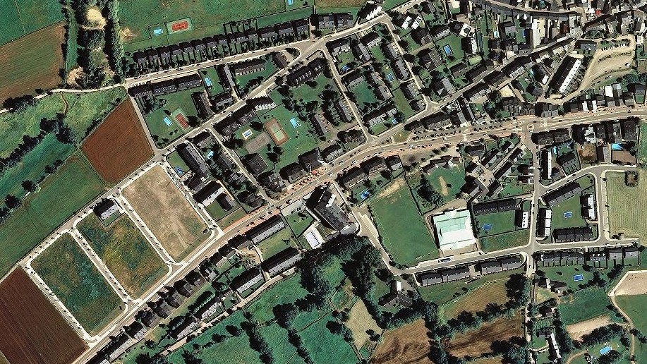
These satellite observations capture the physical modifications to the landscape between the early 2000s and the 2010s. The imagery provides visual evidence of infrastructure development, including the appearance of circular traffic junctions and expanded roadway networks characteristic of urban expansion during this period.