16/10/20
Mal Nombre, Fuerteventura, Las Palmas
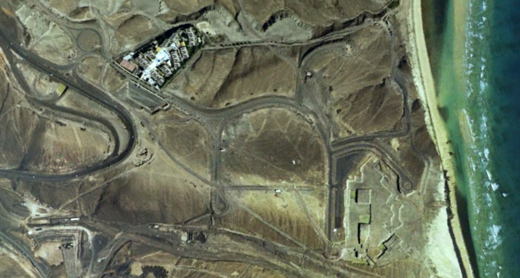
This visual documentation captures the territorial changes observed in the Mal Nombre area of Fuerteventura between 2000 and 2017. The comparative analysis reveals the evolution of land use patterns and infrastructure development across this seventeen-year period.