May 19, 2017
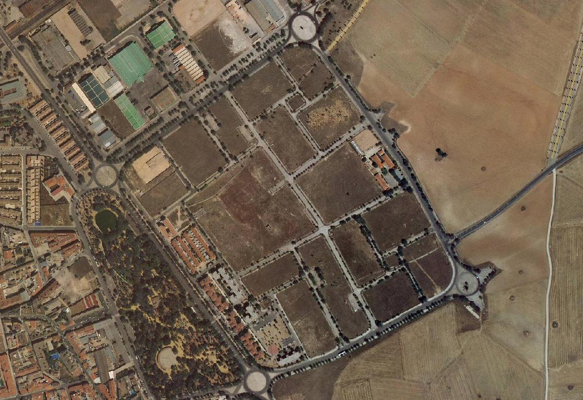
Manzanares, Ciudad Real
2006
2016
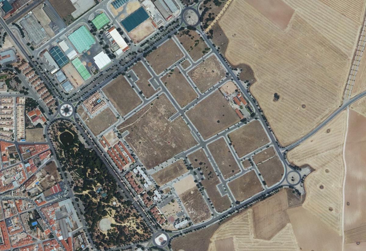
These aerial photographs capture the spatial evolution of Manzanares over a ten-year period. The comparison reveals significant changes in land use patterns, with the emergence of new infrastructure corridors and modified settlement boundaries that characterize contemporary Spanish urban peripheries.