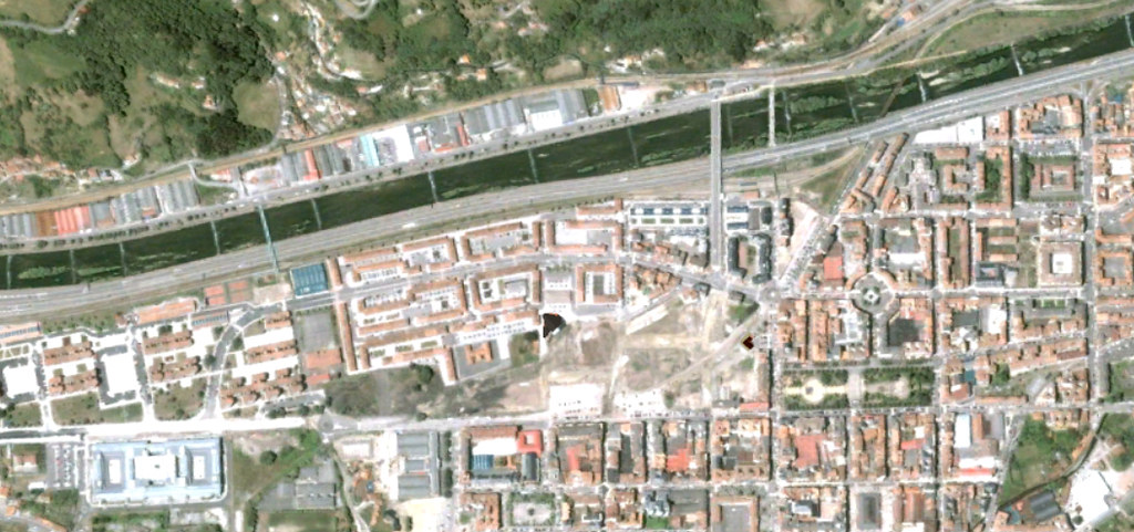
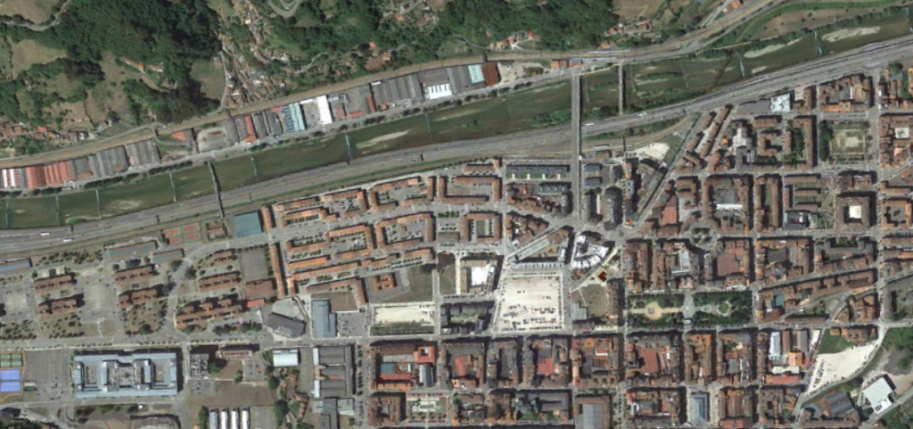
Visual documentation comparing territorial transformation patterns in Mieres, Asturias. This photographic record presents aerial evidence of landscape changes between 2005 and 2016, illustrating the evolution of urban infrastructure and road development in this Asturian municipality.