This comparative documentation captures the territorial evolution at Monte das Arcas in the province of A Coruña. The visual record presents the landscape transformation observed over a decade-long period through aerial photographic evidence.
The imagery reveals modifications to the natural terrain and the emergence of infrastructure development characteristic of peripheral urban expansion patterns documented across the Galician region during the early 21st century construction cycle.
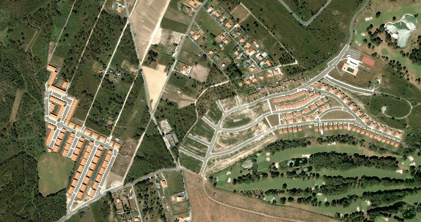
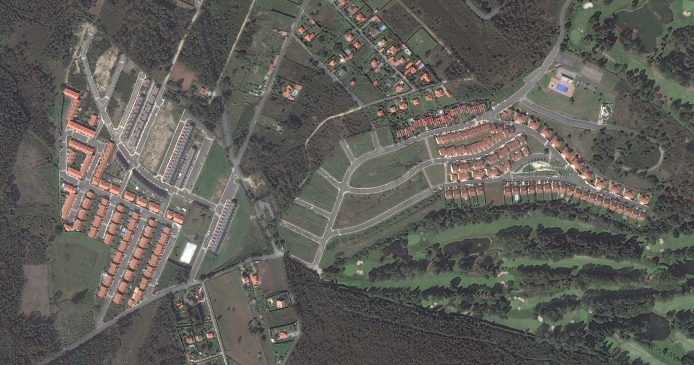
The sequential photographic comparison documents the alteration of previously undeveloped terrain and illustrates the expansion of transportation networks that characterize contemporary landscape modification in northwestern Spain.