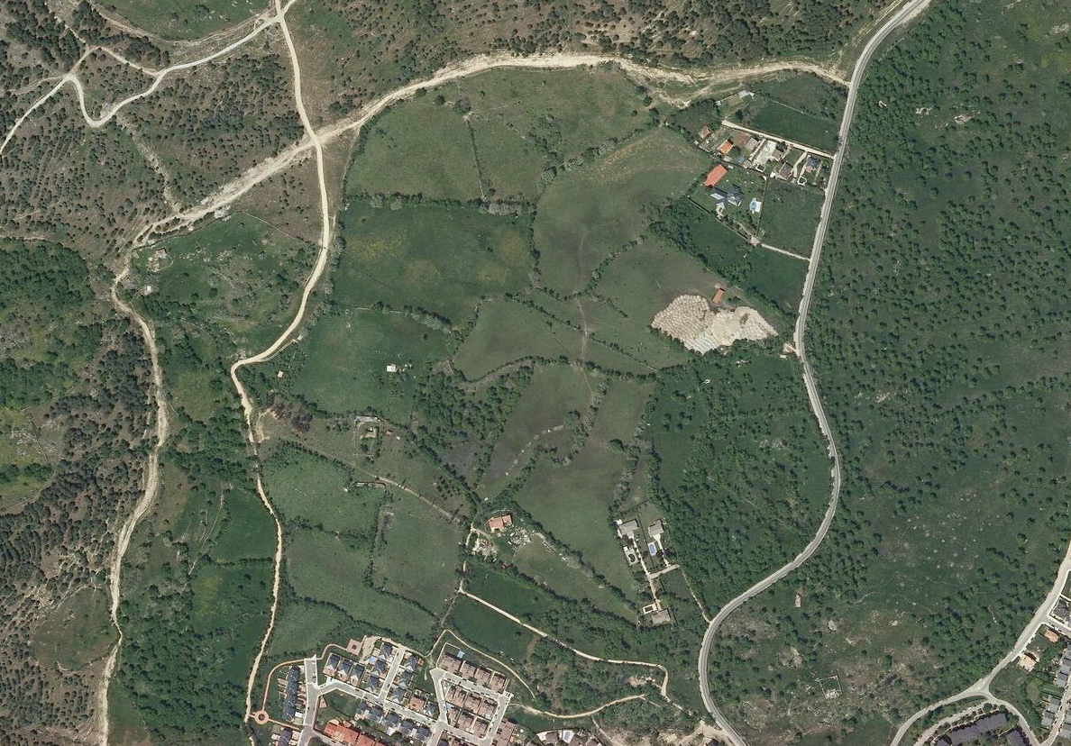
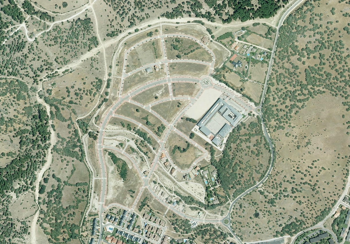
This visual documentation captures the landscape transformation in Moralzarzal, a municipality located in the northern metropolitan area of Madrid. The comparative imagery reveals significant changes in land use patterns between 2006 and 2014, illustrating the expansion of residential development and infrastructure networks during this period.
The photographic evidence documents the conversion of previously undeveloped terrain into organized urban settlements. The transformation reflects broader patterns of territorial reorganization that characterized Spain's recent urban development cycle.