Visual comparison documenting territorial changes between 2006 and 2012. Interactive slider functionality preserved from original implementation.
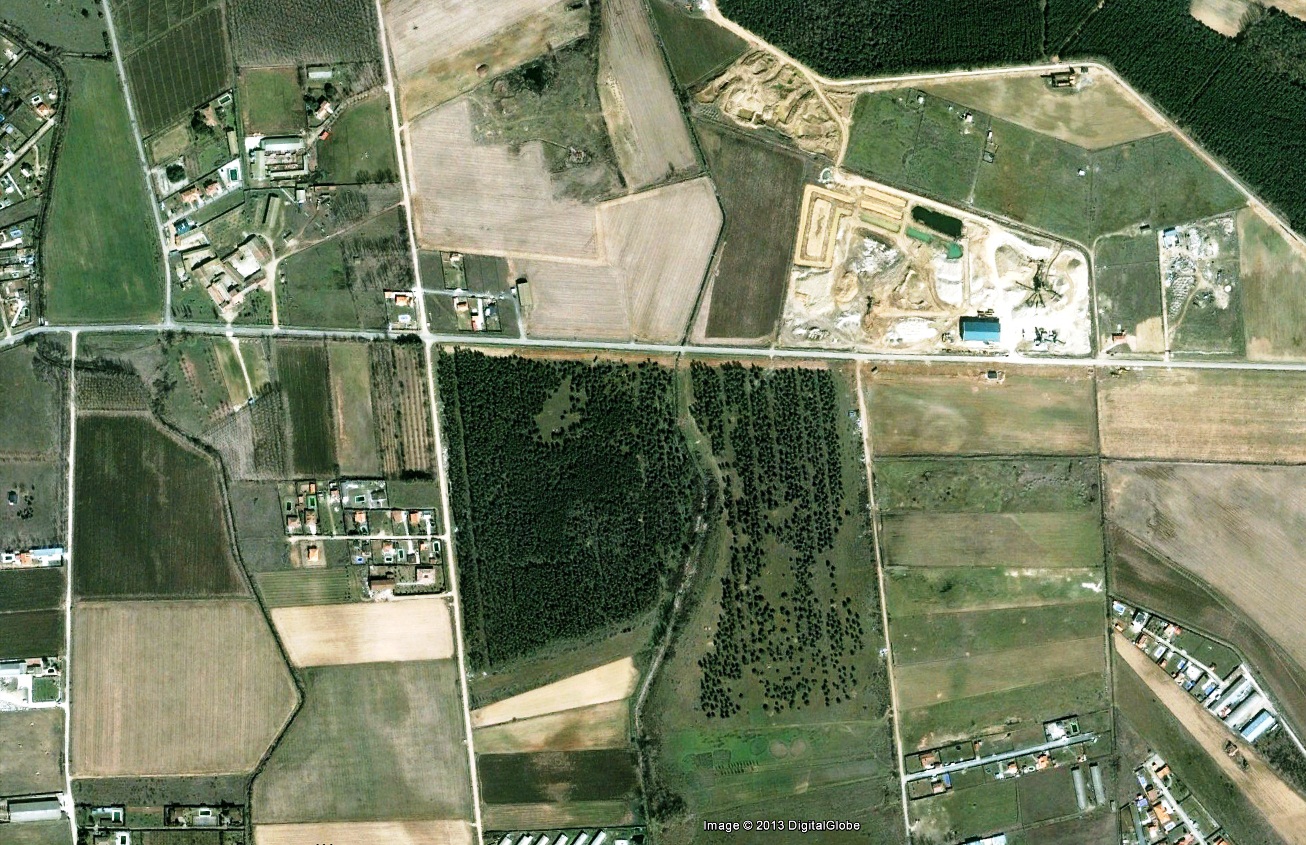
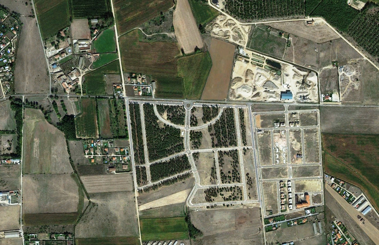
The photographic record captures the transformation of the landscape in Naharros del Río, located in the province of Salamanca, region of Castilla y León. The documentation spans from 2006 through 2012, evidencing shifts in land use patterns during this period.