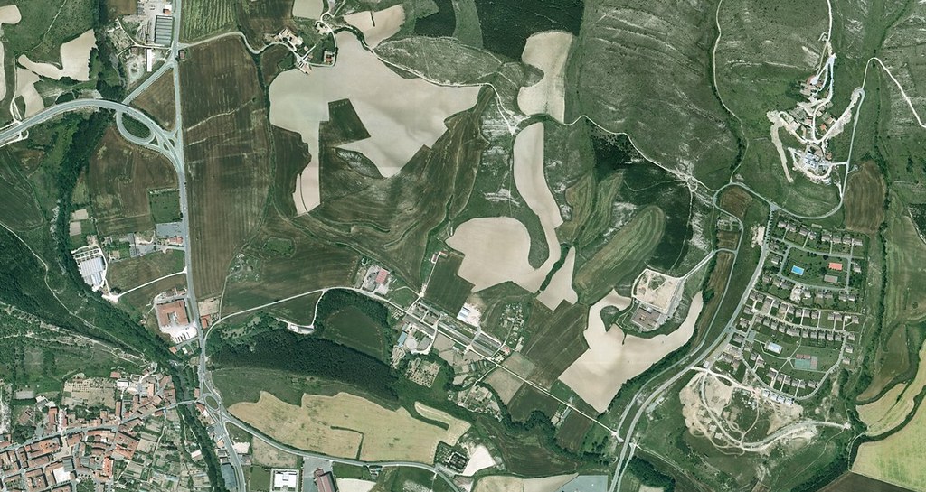
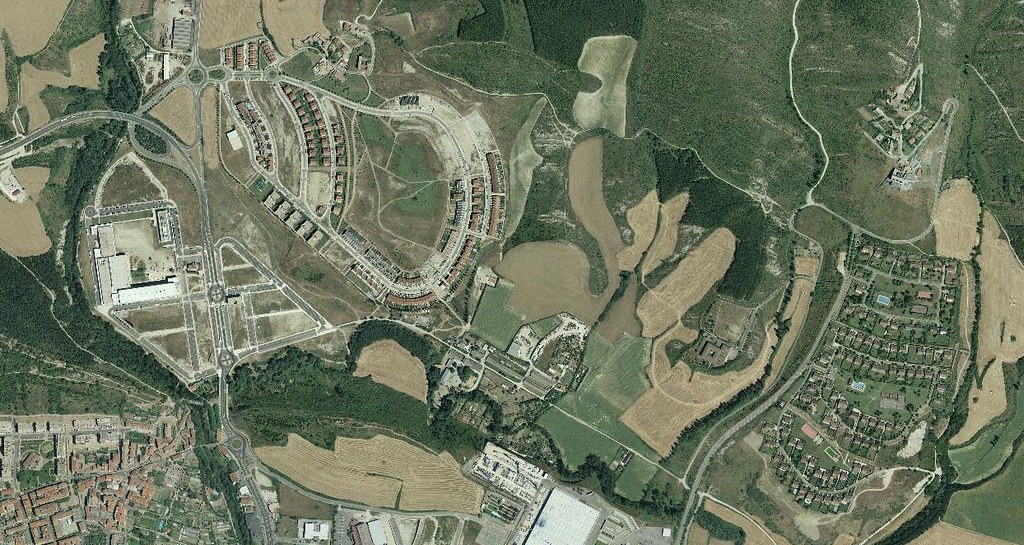
This visual comparison documents the evolution of land use patterns in the Olloki-Alzuza area of Navarra between the years 2000 and 2014. The imagery reveals significant modifications to the territorial structure during this fourteen-year period.
The comparative analysis illustrates the transformation of rural agricultural terrain into developed infrastructure, demonstrating characteristic patterns of urban expansion observed throughout Spanish municipalities during the early twenty-first century.