Comparative aerial imagery reveals the transformation of territorial use patterns in this Sevillian municipality over a thirteen-year period. The visual record documents the evolution of land development between 2002 and 2015.
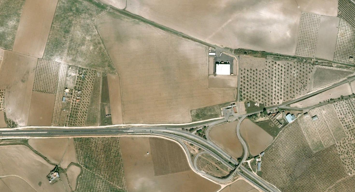
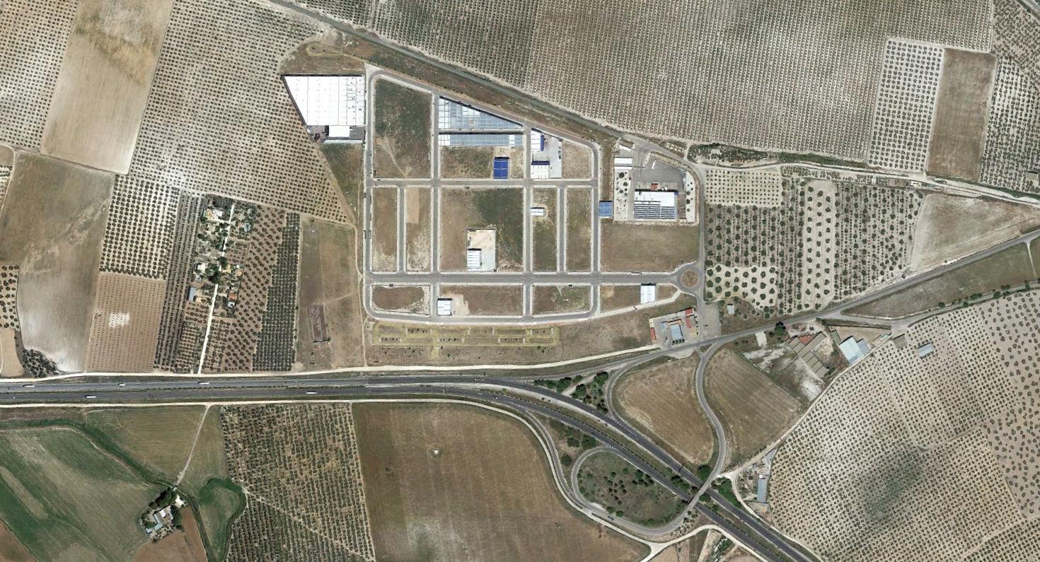
The photographic evidence illustrates changes in the spatial organization of infrastructure and built environment during this timeframe. Road networks and circulation patterns evolved alongside modifications to the surrounding landscape.