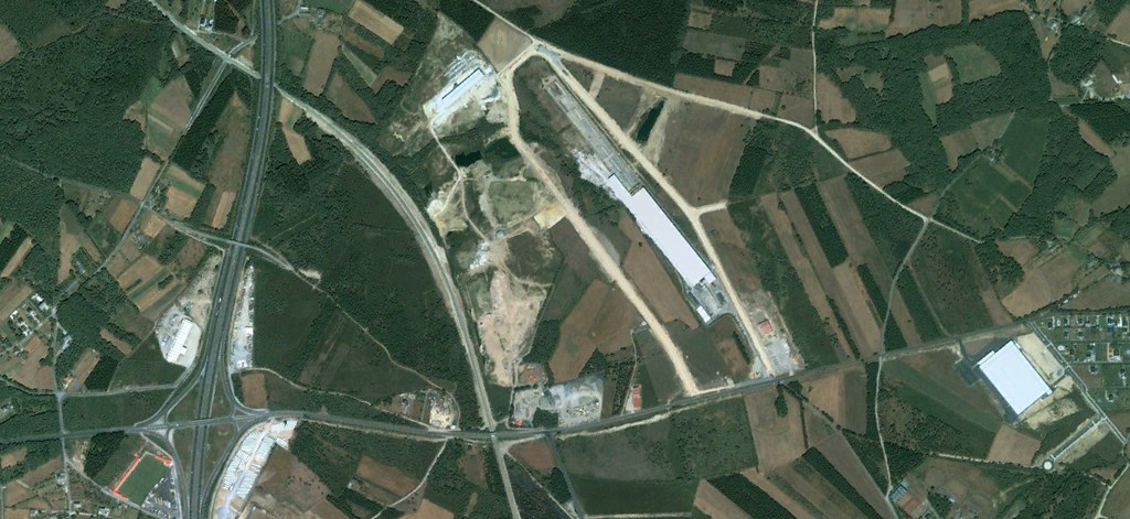
Visual documentation reveals significant landscape modification patterns in this Galician municipality over a six-year observation period. Aerial imagery comparison demonstrates the transformation trajectory of previously agricultural terrain into developed infrastructure zones.
2006 – Before Development
2012 – After Development
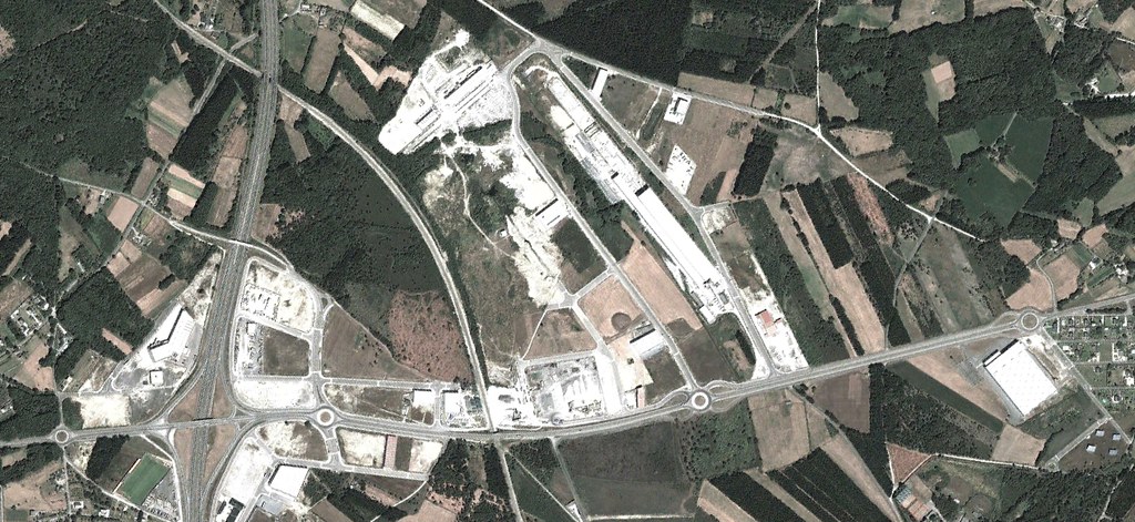
The sequential imagery captures the emergence of road networks and circular traffic infrastructure elements characteristic of urban expansion patterns observed throughout the Spanish territory during this period.