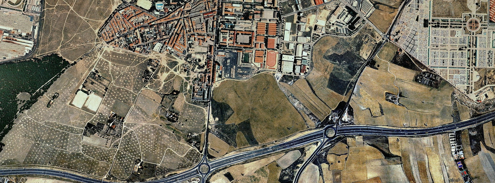
Visual documentation comparing territorial transformation patterns in the PAU de Carabanchel district. The development area demonstrates characteristic urban expansion dynamics observed during Spain's construction period of the early 21st century.
Temporal comparison: 1999
Temporal comparison: 2013
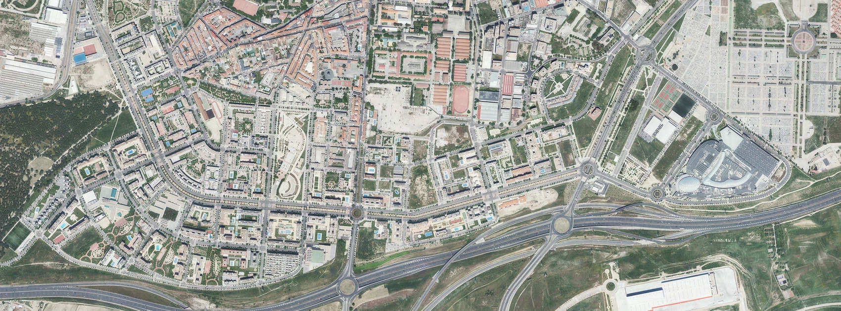
The imagery documents the conversion of previously agricultural land into a structured residential zone with associated road infrastructure. This transformation represents a significant reconfiguration of the Madrid metropolitan periphery during the documented period.