1975
2014
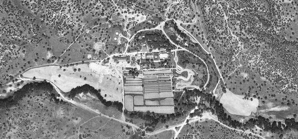
This aerial documentation captures the territorial transformation surrounding Palacio de la Zarzuela in Madrid over nearly four decades. The comparison reveals significant changes in land use patterns and urban development in the vicinity of the royal residence.
The images present a visual record of how the landscape evolved between 1975 and 2014, documenting the expansion of infrastructure and modifications to the natural terrain. This comparison serves as evidence of broader urban development trends affecting areas around significant institutional properties.