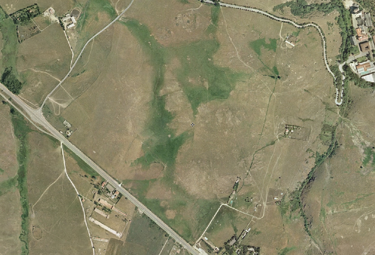
 2004
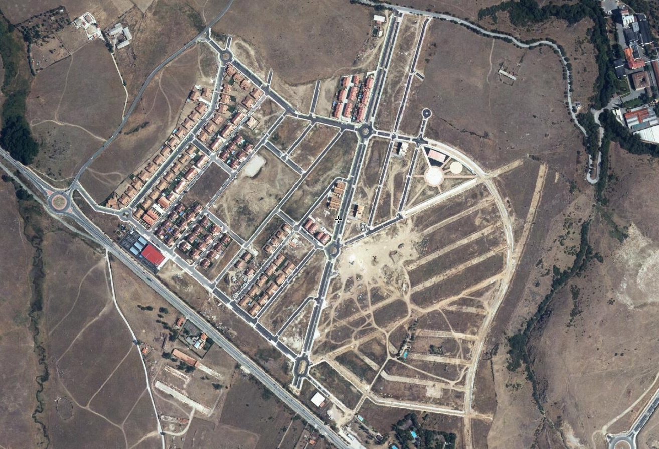 2013
Comparative aerial documentation captures the transformation of Palazuelos de Eresma's landscape between 2004 and 2013. The imagery records infrastructure development, including the construction of traffic roundabouts and road network expansion, alongside residential growth patterns characteristic of the period.
This visual archive illustrates the spatial reconfiguration that occurred during Spain's construction boom, documenting the conversion of agricultural and undeveloped land into urbanized zones with associated transportation infrastructure.