Visual documentation comparing landscape patterns over a nine-year period
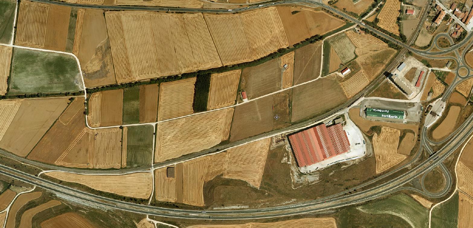
2005
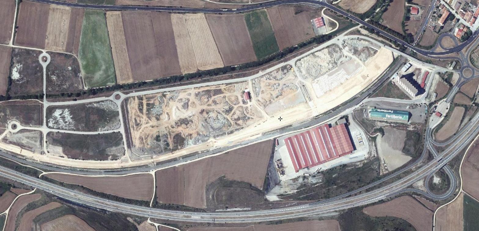
2014
Comparative satellite imagery reveals modifications to the territorial landscape in the municipality of Pancorbo, Burgos province, documenting changes in infrastructure and development patterns between 2005 and 2014.