Documentation of territorial transformation in the Castellón region reveals significant landscape alteration over a nine-year observation period. Aerial imagery comparison demonstrates the emergence of structured development patterns where agricultural terrain previously dominated.
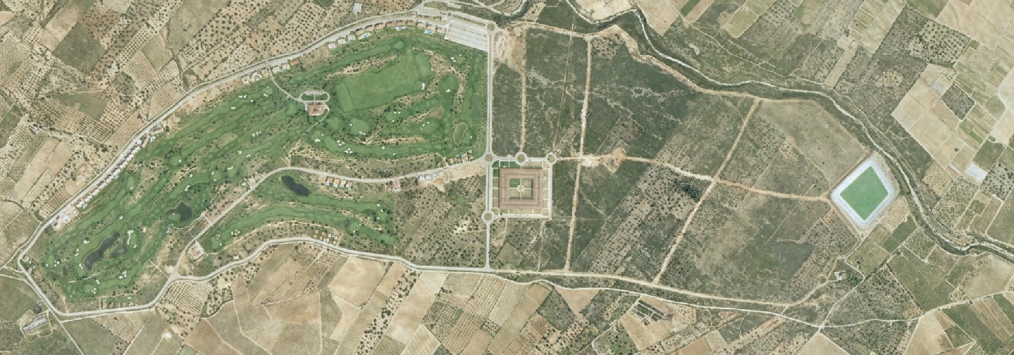 2003
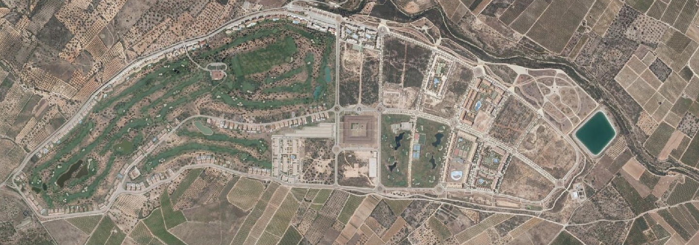 2012
The visual record captures the conversion of open land into organized residential and infrastructure layouts. Road networks, building clusters, and planned developments replaced the earlier undifferentiated terrain, illustrating typical patterns of early 21st-century Spanish urban expansion.