Visual comparison documenting landscape transformation in the Penouta area of Ourense province over a ten-year period. The imagery captures significant alterations to the territorial structure between 2007 and 2017.
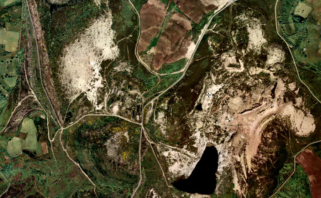
2007 Baseline Documentation
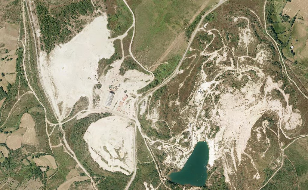
2017 Comparative Documentation
The sequential photographic record illustrates the evolution of infrastructure and land use patterns characteristic of this northwestern Spanish region during the documented timeframe.