Visual documentation captures the transformation of land use patterns in Perdiguera, a municipality within the province of Zaragoza. The comparative imagery reveals significant alterations to the territorial landscape over a nine-year period.
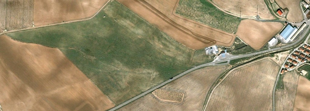
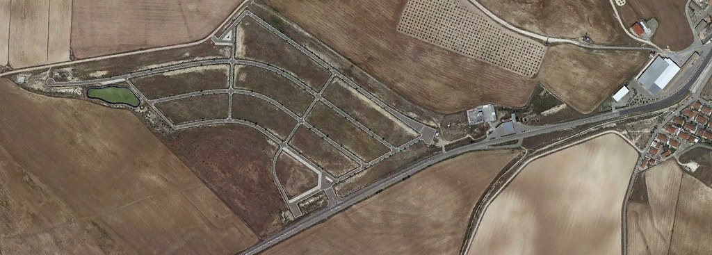
The evidence presented documents the physical changes observable through aerial photography, illustrating the evolving character of the built environment and surrounding territory.