Aerial imagery documentation reveals the transformation of the landscape in Pizarra, a municipality located in Málaga province. The comparative analysis spans a fourteen-year interval, capturing the territorial evolution between 2002 and 2016.
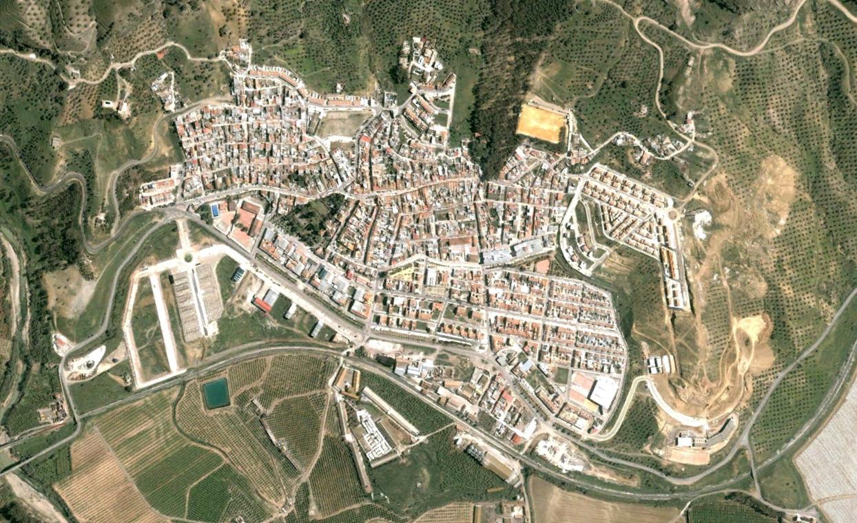
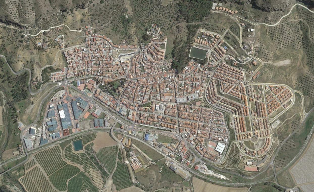
The visual record documents the introduction of road infrastructure elements, including the construction of roundabouts along the highway network. The imagery captures the shift from predominantly agricultural terrain to a landscape increasingly marked by transportation corridors and associated development patterns.
These before-and-after photographs serve as documentary evidence of the physical modifications to the territory during Spain's early 21st-century construction period, offering a fixed visual reference point for understanding the velocity and character of landscape change in this region of Andalusia.