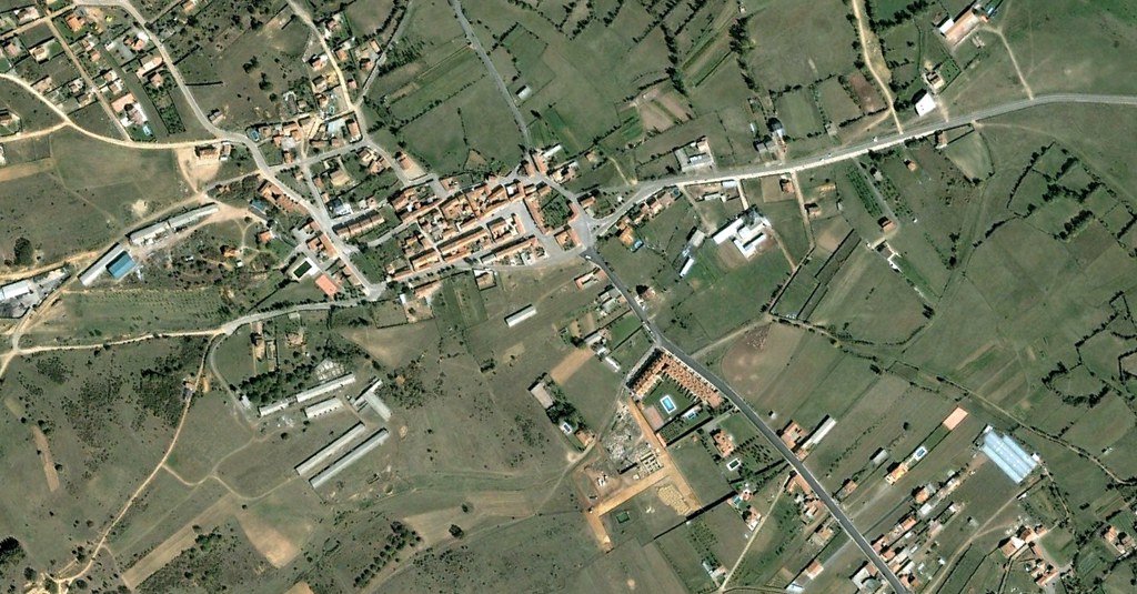
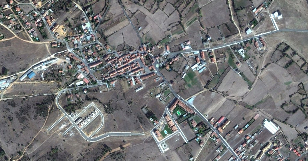
Aerial documentation captures the territorial evolution of Pobladura de Bernesga in Sariegos municipality, León province. The comparative imagery reveals patterns of suburban expansion between 2004 and 2011, documenting the transformation of agricultural landscape into residential development.
The visual record shows the emergence of new road infrastructure connecting to the settlement, illustrating the characteristic spatial reorganization that accompanied housing development during this period. The aerial perspective documents how rural periphery transitioned into structured residential zones with connecting transportation networks.