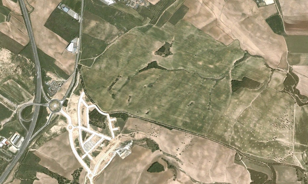
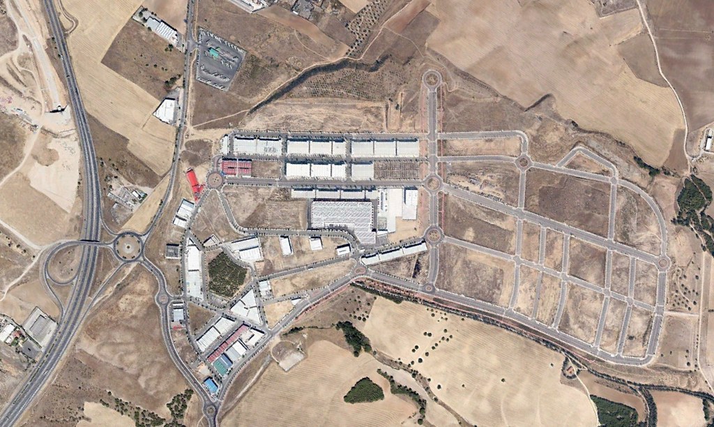
Comparative satellite imagery documenting the transformation of agricultural land into industrial infrastructure in the western Madrid metropolitan corridor. The sequence captures a decade of territorial reorganization between 2002 and 2012, showing the emergence of logistics facilities, transportation networks, and supporting infrastructure.