Visual documentation capturing the territorial transformation around the Mularroya Dam area in Zaragoza province. This comparative analysis reveals the evolution of infrastructure and landscape patterns between 2003 and 2017, showcasing the development of new road networks and structural interventions in this reservoir zone.
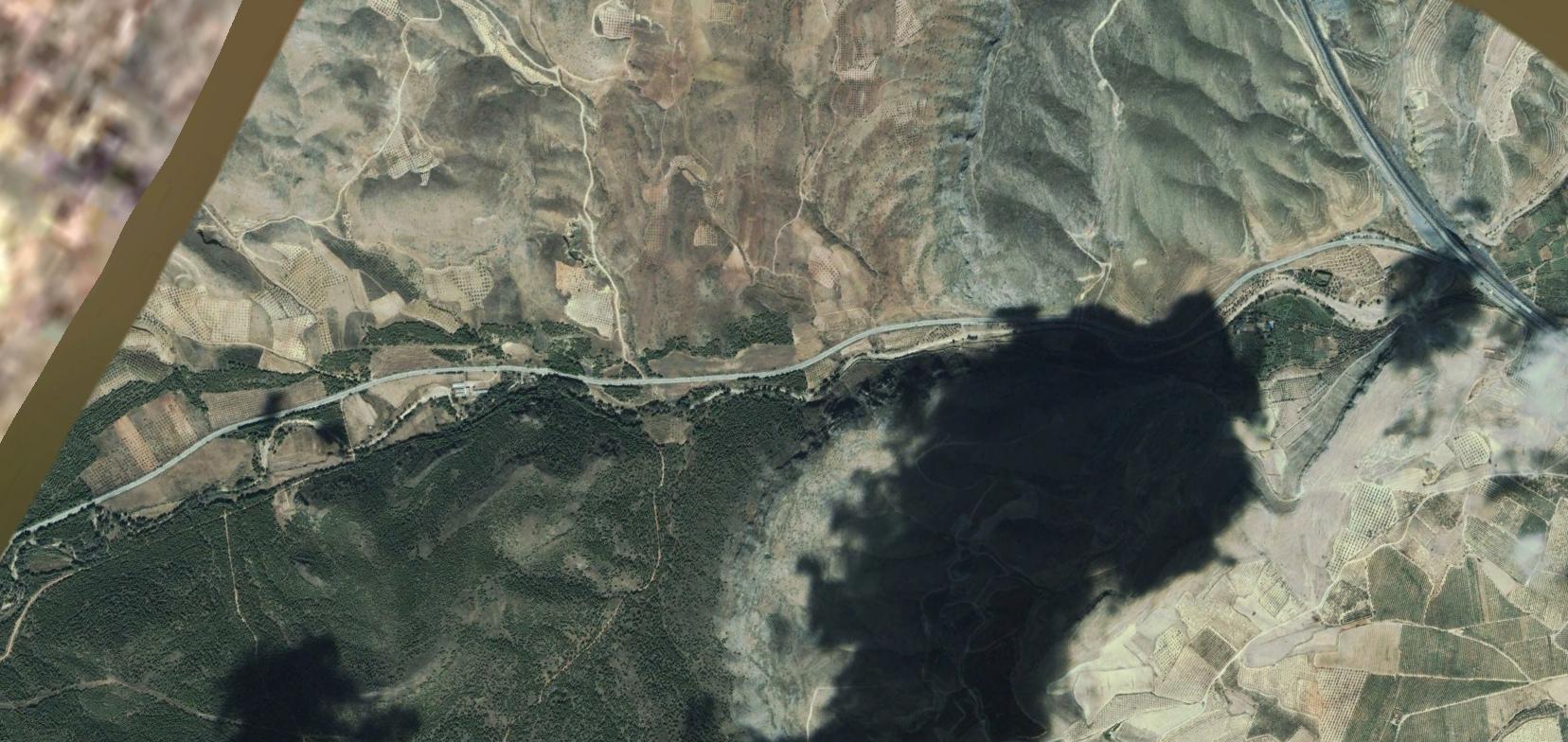
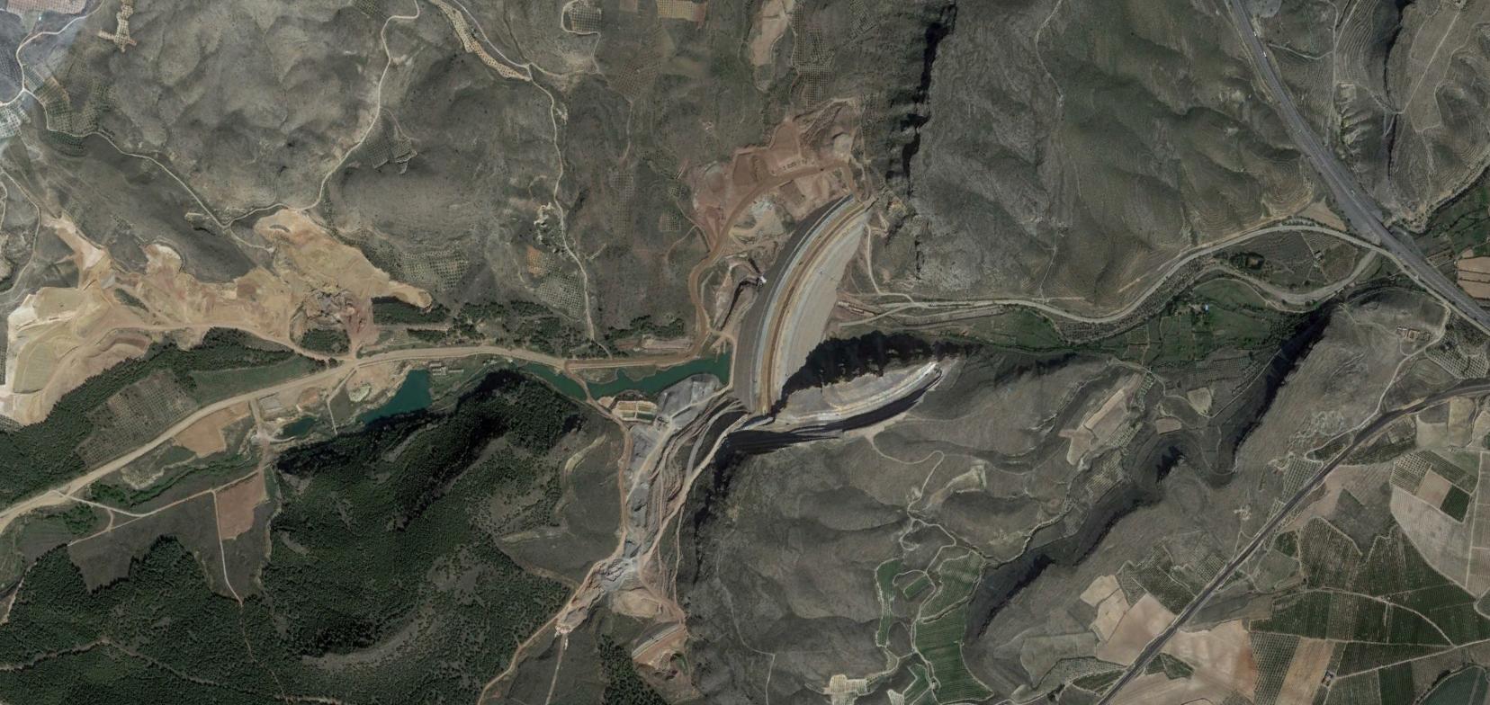
The interactive comparison above allows examination of infrastructure development patterns and the modification of the surrounding territory over a fourteen-year period. The slider reveals changes in road configuration and territorial organization.