This visual record documents the spatial evolution of Puerto Real in the Cádiz province during a period of significant territorial modification. The comparative imagery reveals patterns of development characteristic of early 21st-century Spanish urban expansion.
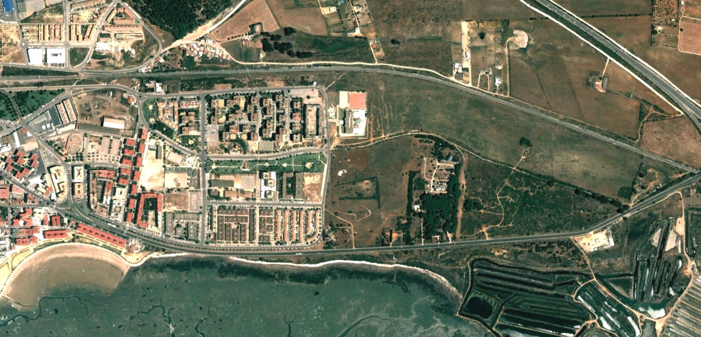
Aerial documentation comparing 2002 and 2012 landscape conditions