Photographic documentation revealing the territorial evolution of Estepona's coastal port district over a twelve-year interval. These comparative aerial perspectives illustrate significant infrastructural modifications and urban expansion patterns characteristic of Mediterranean coastal development during the early twenty-first century.
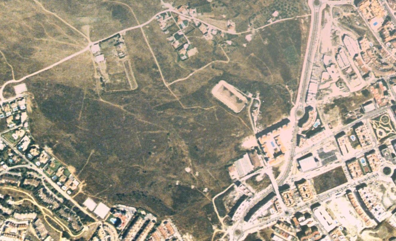
2004
Before development
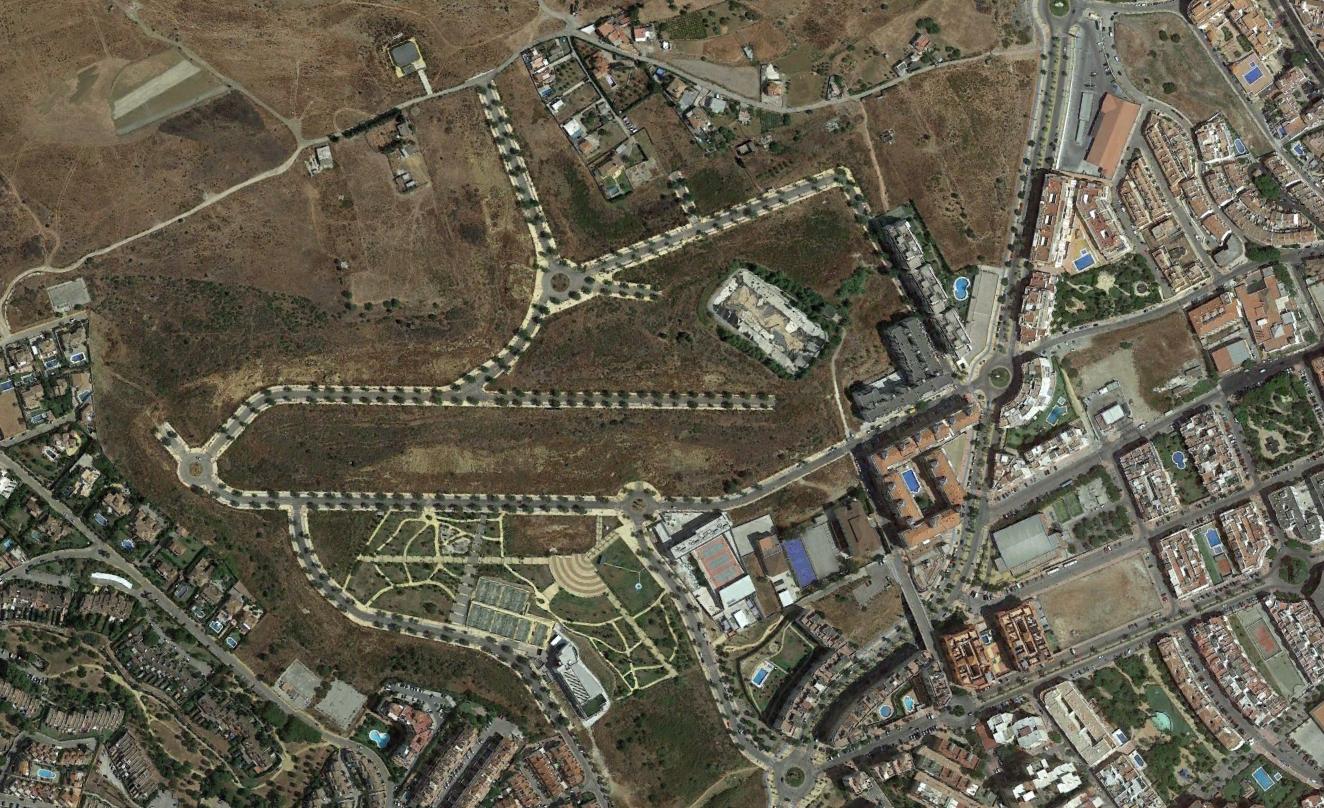
2016
After transformation
The visual evidence documents the construction of new roadway systems, roundabouts, and built structures where previously undeveloped terrain existed. This transformation represents typical patterns observed across Spain's coastal regions during the period examined.