Comparative aerial documentation captures territorial changes in Quitapesares, located in the province of Segovia. The imagery presents a six-year interval, documenting the physical transformation of the landscape between 2004 and 2010.
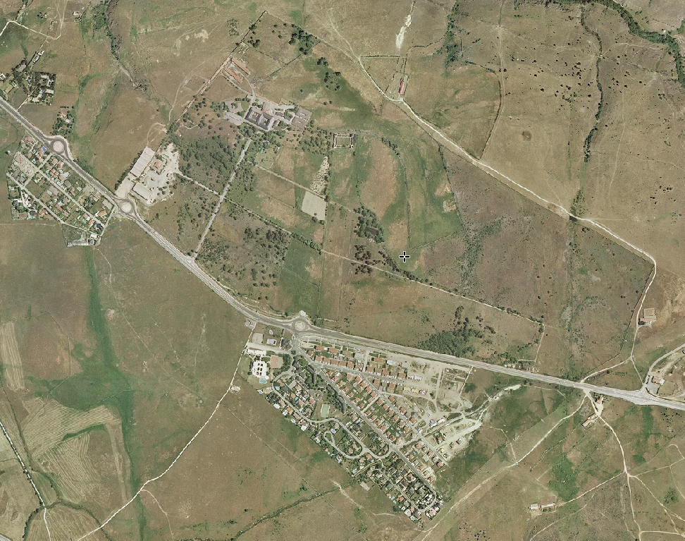
2004
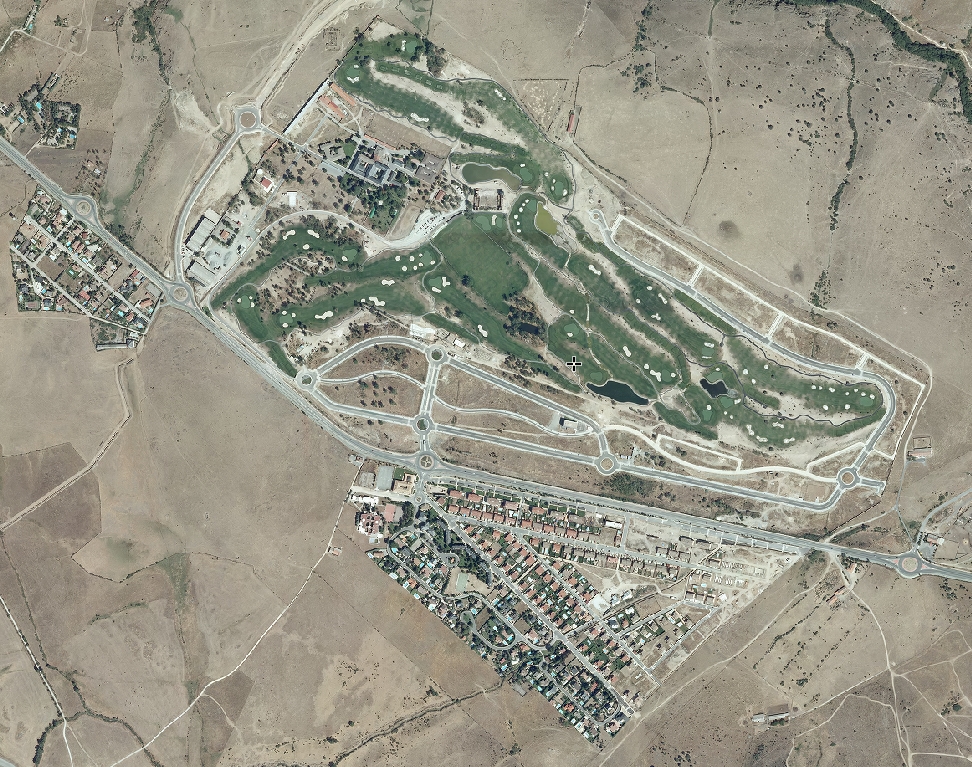
2010
The visual record illustrates modifications to road infrastructure and adjacent land parcels during this period. The comparative framework allows observation of development patterns characteristic of the documented timeframe.