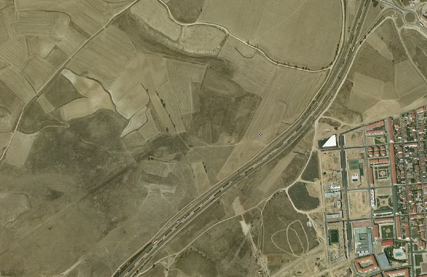
This comparative analysis documents the transformation of agricultural land into a commercial retail district in Valladolid over a decade-long period. The satellite imagery captures the conversion of open terrain into a shopping center development accompanied by expanded road infrastructure.
2004 Baseline
2014 Development
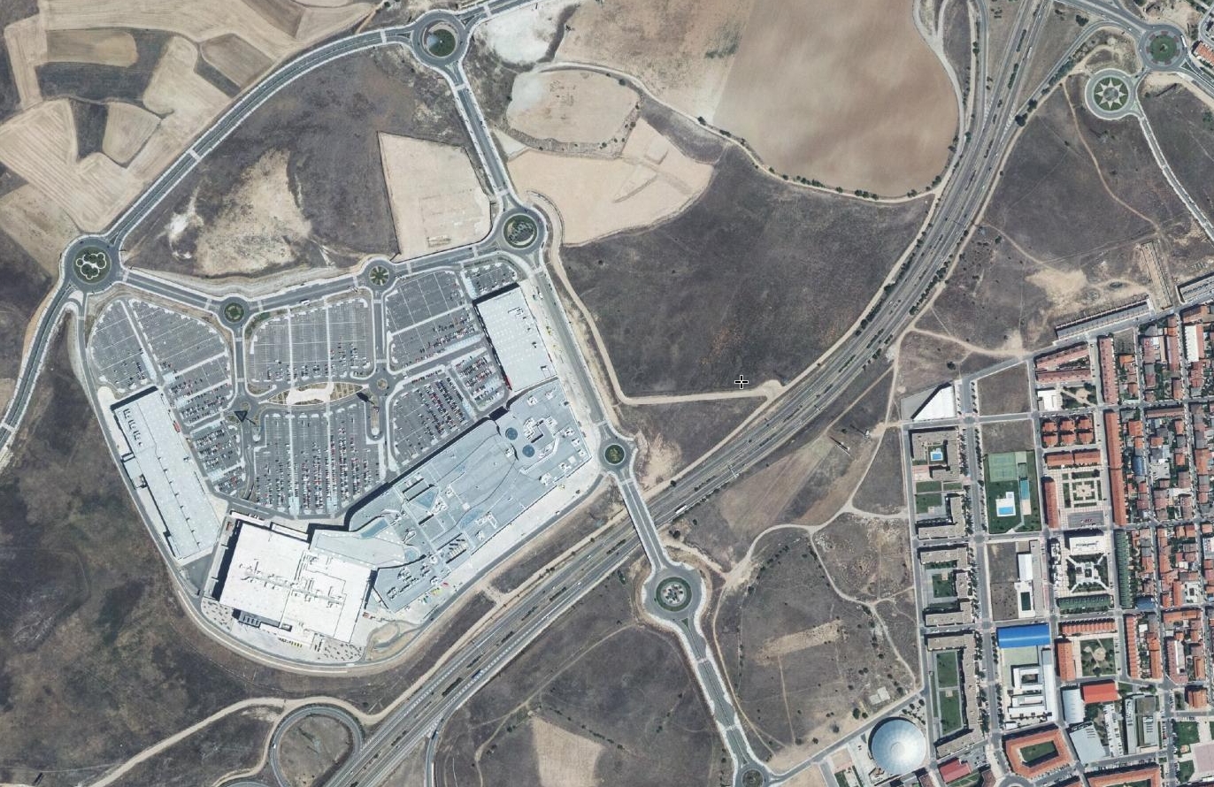
The images reveal the characteristic pattern of peripheral commercial development: the emergence of large-format retail structures, extensive parking areas, and the network of access roads and roundabouts that define contemporary suburban commercial landscapes.