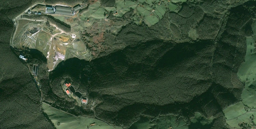
This visual documentation examines the transformation of the landscape in San Bartolomé de Meruelo, a municipality located in the Cantabrian region. The comparative imagery reveals significant alterations to the terrain over a nine-year period.
Before: 2002
After: 2011
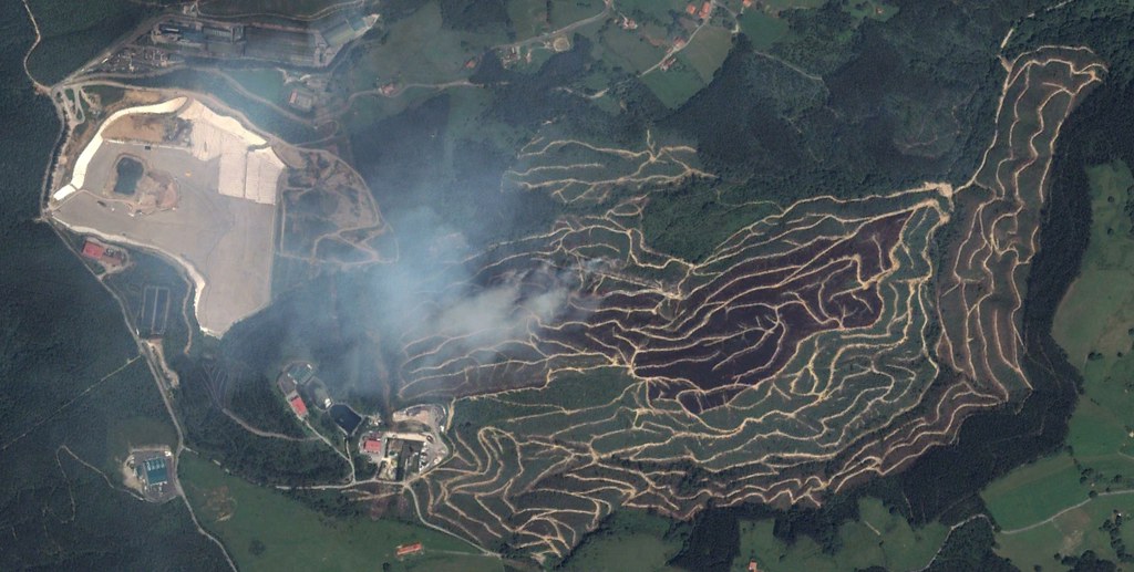
The aerial perspectives document the conversion of previously cultivated land characterized by distinctive agricultural furrows into developed terrain featuring road networks and roundabout infrastructure. This transformation represents a pattern observed across numerous locations within the Spanish territory during the documented period.
The images capture the physical evidence of land-use changes that occurred between the early 2000s and the beginning of the 2010s, providing a visual record of spatial reorganization in this Cantabrian locality.