July 6, 2016
San Juan del Puerto, Huelva
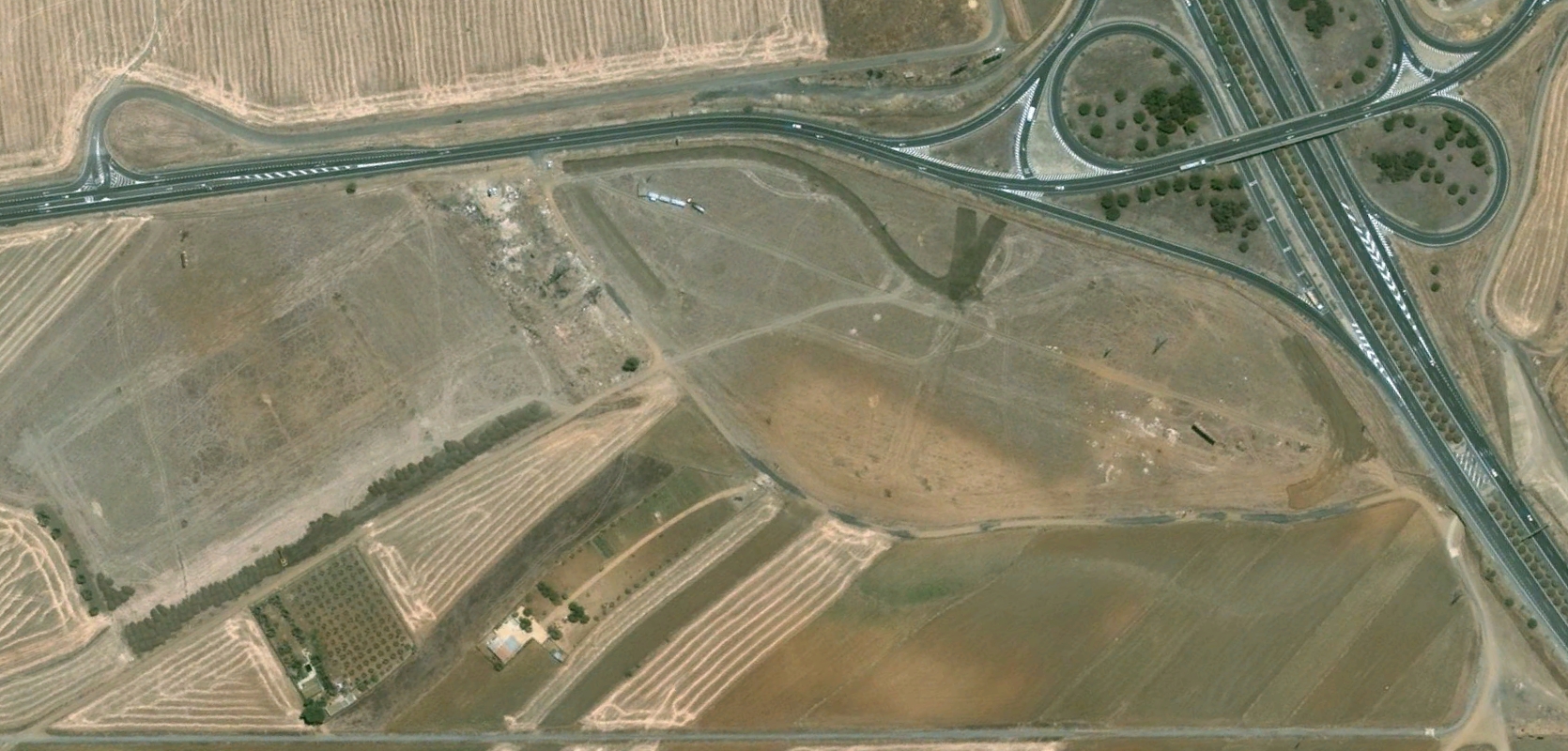
Visual documentation captures the landscape transformation of this Huelva municipality over an eight-year period. Aerial imagery reveals significant territorial modifications between 2005 and 2013, illustrating the patterns of urban expansion and infrastructure development that characterized this era.
2005
2013
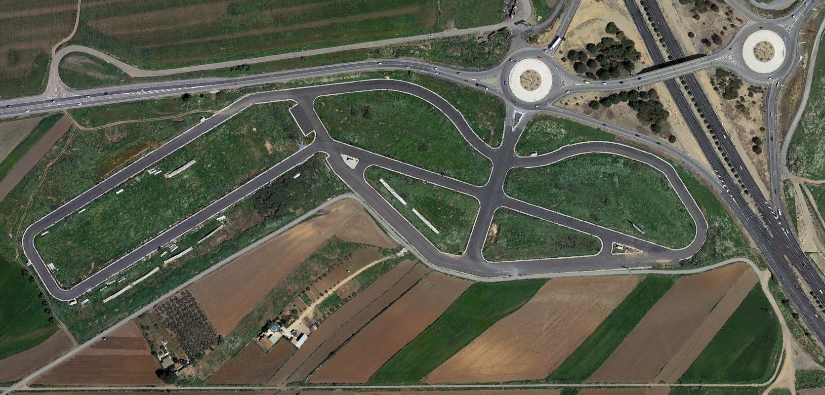
The comparative imagery documents the rapid transformation of previously undeveloped land into urbanized areas, complete with road infrastructure and circulation systems. This visual record serves as evidence of the territorial changes that occurred during Spain's intensive construction period.