23/1/15
San Miguel de Meruelo, Cantabria
This comparative documentation captures the physical transformation of the coastal territory in San Miguel de Meruelo, located in Cantabria, between 2002 and 2010. The aerial imagery reveals the evolution of land use patterns during a period of significant development activity across Spanish coastal municipalities.
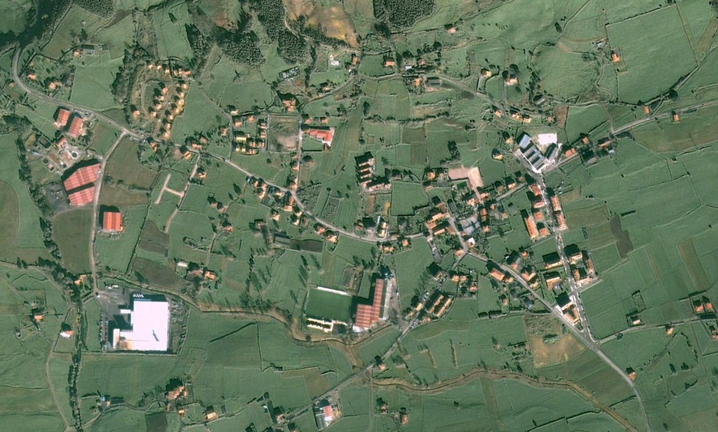
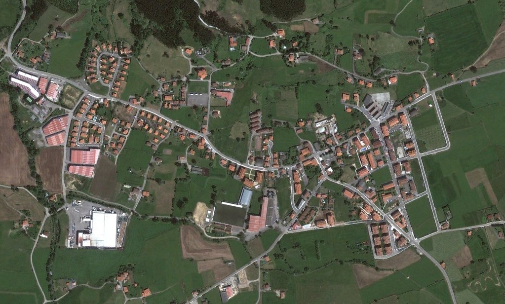
The visual evidence documents the emergence of road infrastructure, including characteristic traffic circles that became emblematic of peripheral urban expansion throughout the region. The transformation reflects broader territorial planning decisions implemented during Spain's construction boom years.