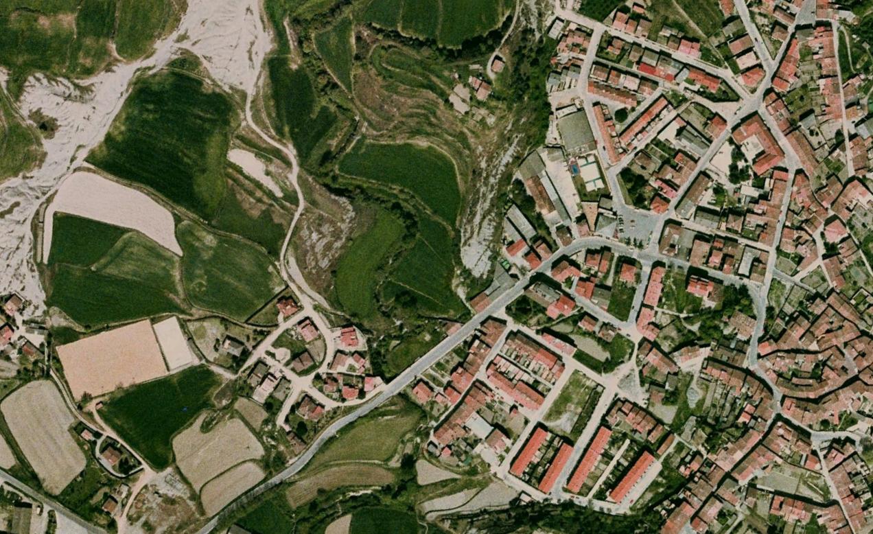
Aerial documentation reveals the territorial transformation patterns occurring in Sant Pere de Torelló during the mid-2000s. The comparative imagery captures a six-year period of landscape modification in this Catalan municipality.
2004
2010
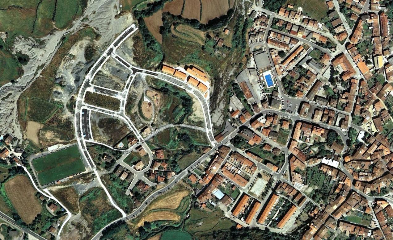
The visual evidence documents the emergence of new road infrastructure and development patterns characteristic of the urbanization processes observed throughout the region during this timeframe.