This comparative documentation captures the coastal transformation of Santa Susanna over a decade-long period. The visual record presents distinct phases of territorial development along the Barcelona coastline.
Santa Susanna, Barcelona Province
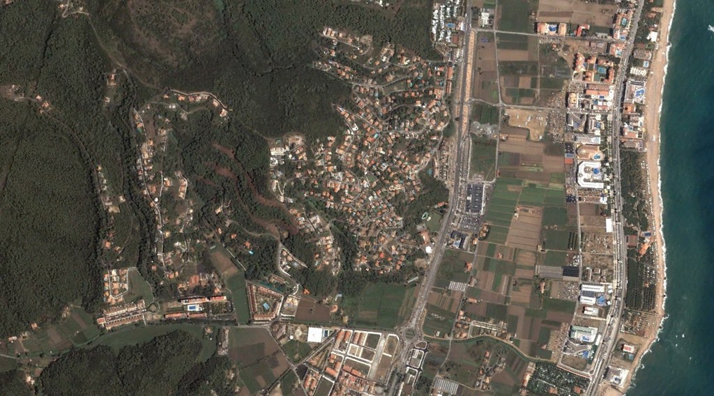
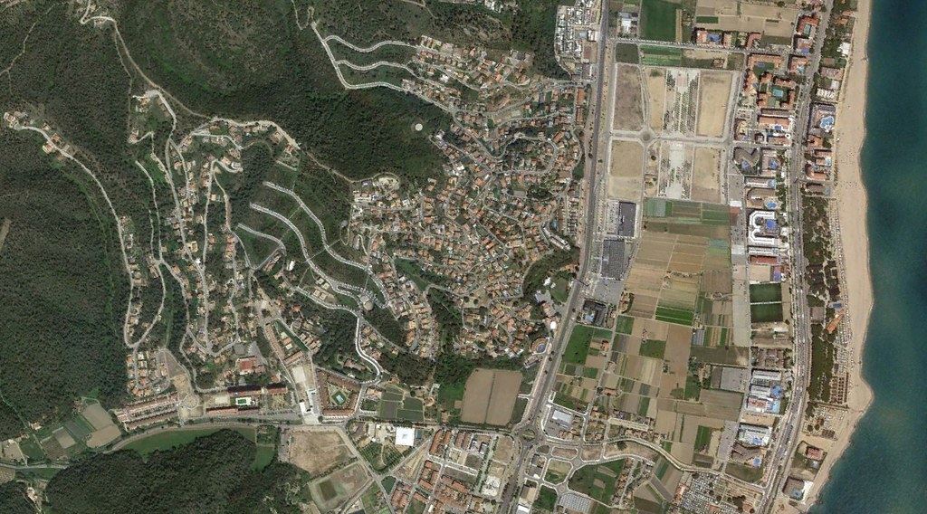
The photographic sequence demonstrates observable changes in land use patterns and built environment density. Infrastructure expansion, including new roundabouts and road networks, characterizes the transformation visible in the later imagery.