This visual documentation captures the territorial transformation of Sollana, Valencia, between 2002 and 2017. The comparison reveals significant changes in land use patterns and infrastructure development characteristic of the period.
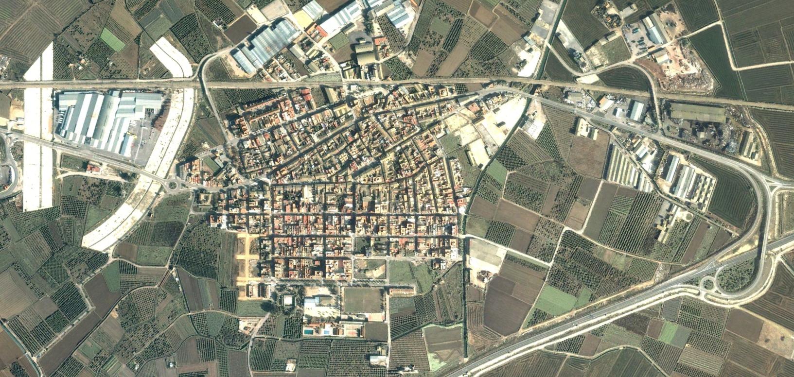
The imagery documents the evolution of this Valencian municipality, providing a visual record of how the landscape has been modified through planning decisions and construction activity during this fifteen-year timeframe.