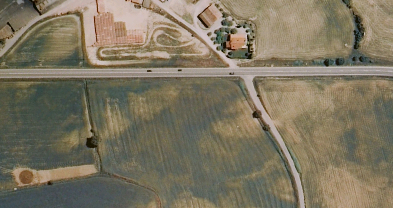
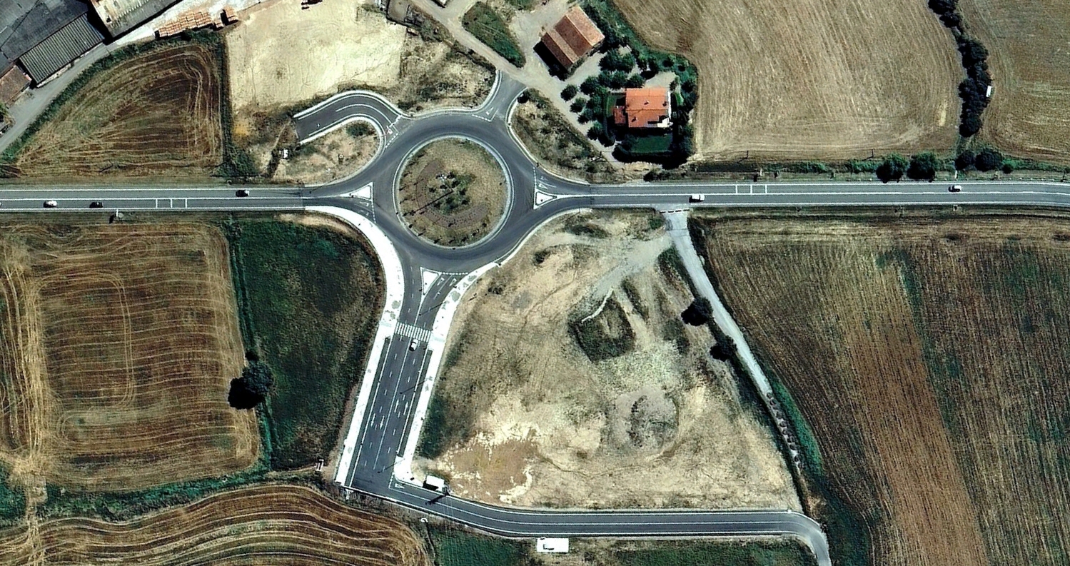
Aerial documentation captures territorial transformation in Solsona between 2001 and 2013. The comparative images reveal the emergence of new urban patterns and traffic infrastructure where agricultural land previously existed.
The visual evidence demonstrates significant alterations to the landscape, documenting the conversion of rural territory into developed zones with expanded road networks including circular intersections.