December 15, 2013
Tapia de Casariego (Karting Circuit), Oviedo
Visual comparison documenting landscape transformation in Tapia de Casariego through aerial imagery analysis. The sequence captures territorial changes between 2000 and 2012, revealing patterns of development in this Asturian coastal area.
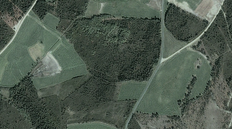
The comparative analysis presents evidence of land use evolution in this northern Spanish locality. Karting facility construction and associated infrastructure modifications represent observable shifts in territorial occupation patterns documented through satellite imagery.