Tarazona de la Mancha, Albacete
This comparative study examines the transformation of land use patterns in Tarazona de la Mancha, located in the province of Albacete. The satellite imagery captures significant infrastructural development over a seven-year period, documenting the emergence of new industrial zones and the adaptation of the built environment to existing territorial boundaries.
The documentation reveals how development patterns follow pre-existing property lines and agricultural parcels, creating distinctive geometric configurations in the landscape. This visual evidence illustrates the relationship between land division frameworks and subsequent urbanization processes in semi-rural contexts.
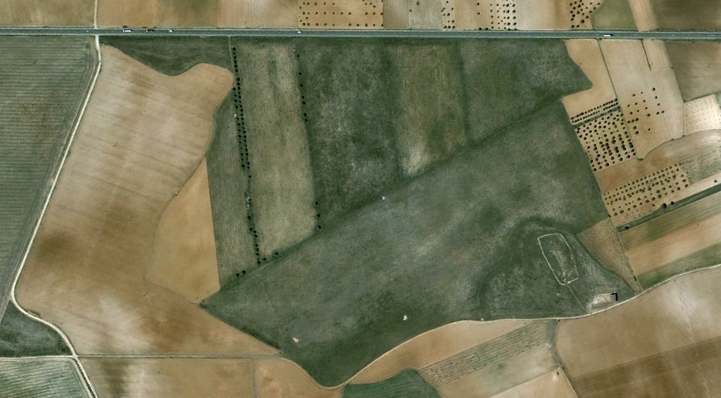
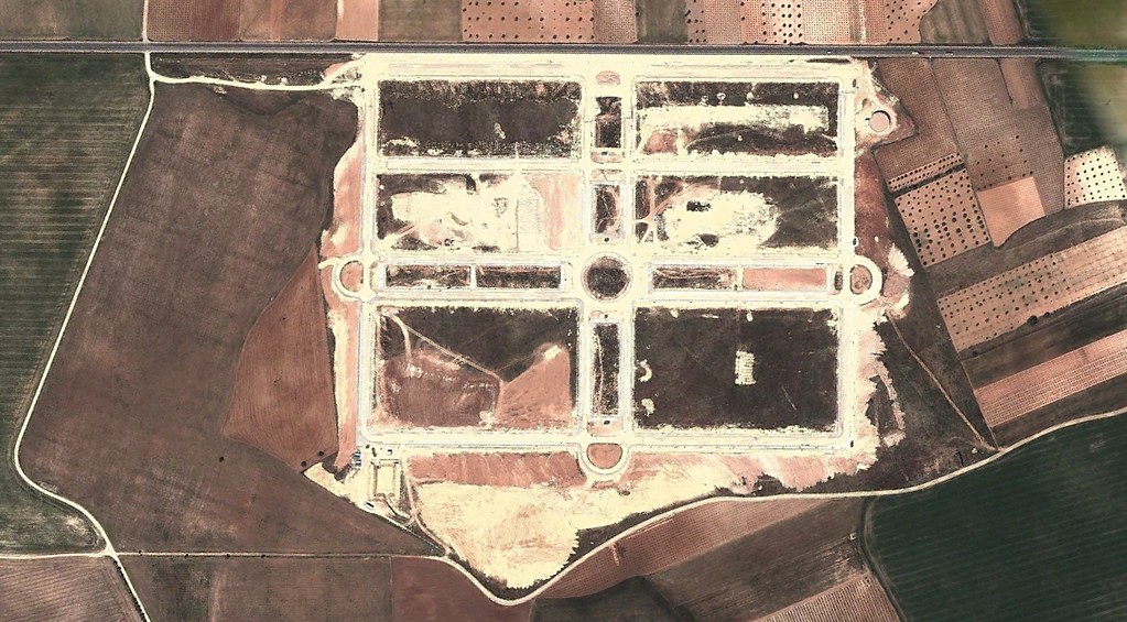
The transformed landscape demonstrates the spatial expansion of industrial infrastructure, characterized by the construction of warehouse facilities, access roads, and roundabout circulation systems. These developments represent typical patterns observed across similar municipalities during the period of intensive territorial modification in the Spanish interior.