Comparative visual analysis documenting territorial modifications in Tierz, a municipality in the province of Huesca, captured through satellite photography over a decade-long period.
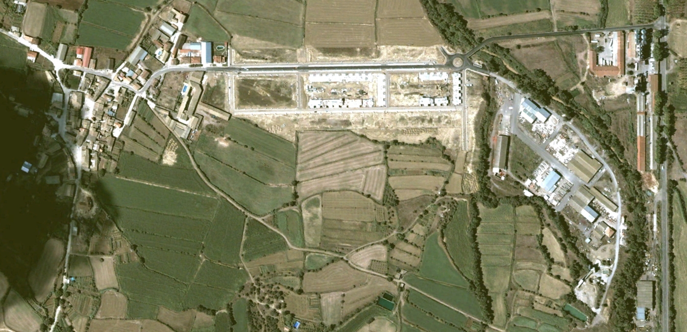
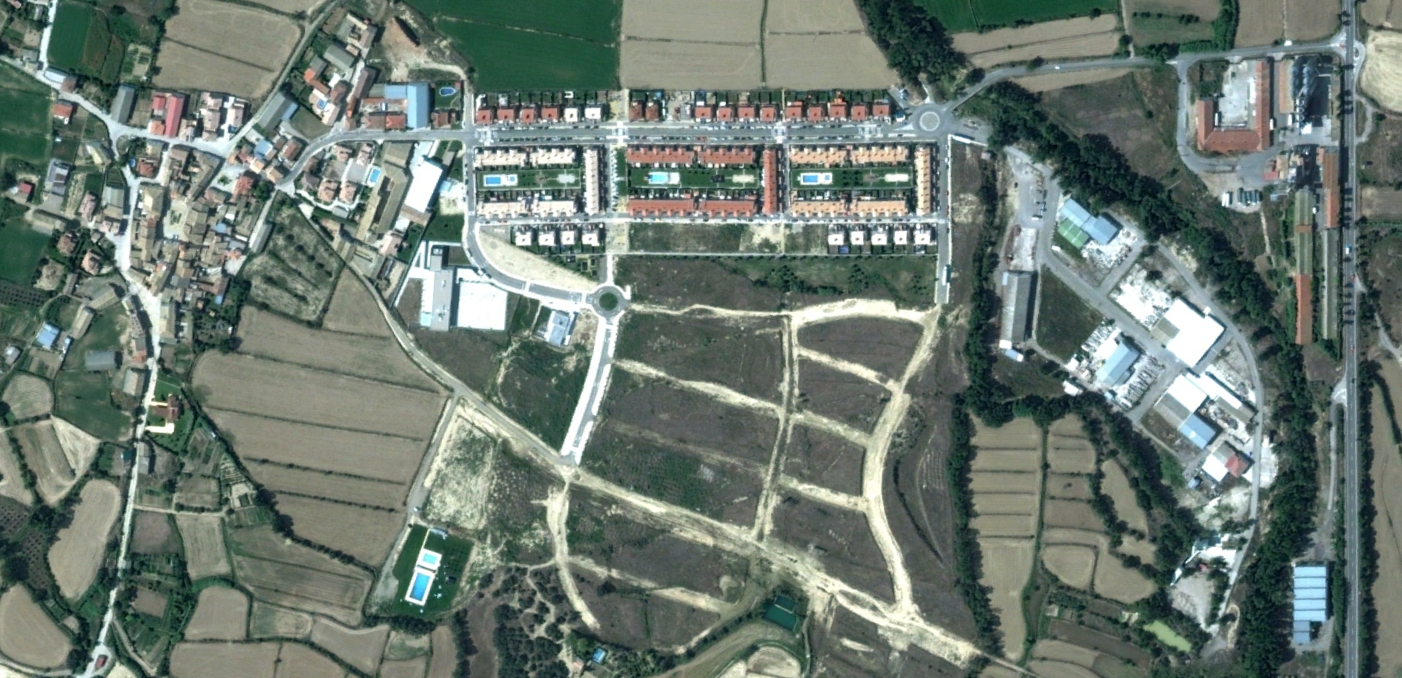
Observation Period: 2002 to 2012
These images capture the evolution of land use patterns and infrastructure development in this area of the Aragonese landscape during Spain's significant urban expansion era.