A documented case study examining landscape transformation in the southern sector of Torrelodones, a municipality situated northwest of Madrid. This comparative visual analysis captures a decade of territorial change between 2002 and 2012.
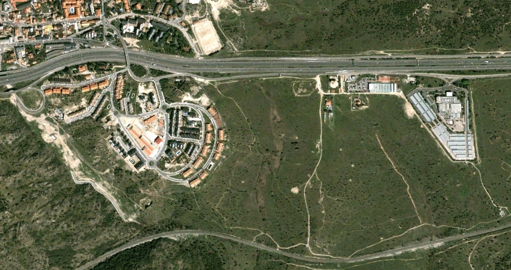
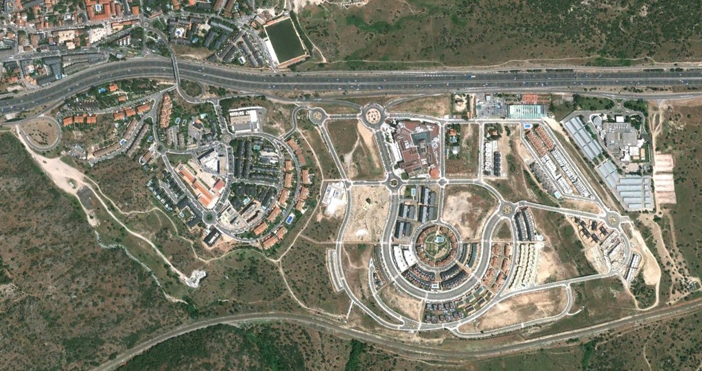
The photographic evidence illustrates the evolution of infrastructure and land use patterns during a significant period of urban expansion in the Madrid metropolitan region. This documentation forms part of a broader territorial inventory examining spatial changes across Spanish municipalities.